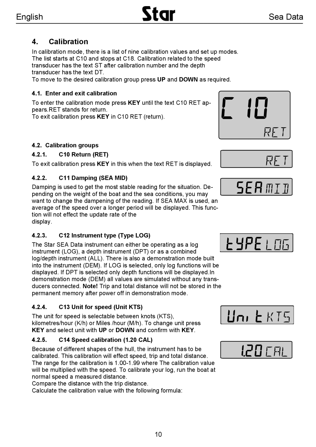
SEA DATA specifications
Silva SEA DATA is an innovative platform designed to meet the ever-growing demands of data management and maritime information systems. It is designed to facilitate the effective collection, storage, analysis, and dissemination of data pertaining to sea operations, enhancing both operational efficiency and safety in maritime environments.One of the main features of Silva SEA DATA is its robust real-time data integration capabilities. It collects data from various sources, including vessels, buoys, satellites, and shore stations, ensuring that users have access to the most up-to-date information. This real-time data stream is crucial for decision-making processes in maritime operations, allowing for timely responses to changing conditions at sea.
Another hallmark of Silva SEA DATA is its powerful analytical tools. The platform incorporates advanced algorithms and machine learning techniques that facilitate predictive analytics, enabling users to forecast maritime conditions and trends. These predictive capabilities are vital for optimizing shipping routes, enhancing vessel performance, and minimizing operational risks.
The technology stack behind Silva SEA DATA is also noteworthy. Built on a cloud-based infrastructure, it offers scalability and flexibility, accommodating the varying needs of different maritime organizations. The use of cutting-edge data storage solutions ensures data integrity and security, while also allowing for seamless access from multiple devices.
User experience is a critical focus for Silva SEA DATA. The platform features an intuitive user interface, making it accessible even for those who may not have extensive technical expertise. Customizable dashboards allow users to tailor their information displays to suit specific operational requirements, streamlining workflows and enhancing user efficiency.
Silva SEA DATA also emphasizes collaboration and information sharing. The platform supports multi-user functionalities, enabling teams to work together more effectively by sharing insights, reports, and data visualization tools. This collaborative aspect is crucial for organizations operating within complex maritime ecosystems, where multiple stakeholders must coordinate their efforts.
Furthermore, the platform adheres to environmental standards and promotes sustainable maritime practices. By providing data analytics that focus on fuel consumption and emissions, Silva SEA DATA empowers organizations to optimize their operations in an environmentally responsible manner.
In conclusion, Silva SEA DATA stands out as a comprehensive solution for managing maritime data. With its feature-rich environment, state-of-the-art technologies, and strong emphasis on user experience and collaboration, it is well-positioned to address the challenges faced by the maritime industry today. As maritime operations continue to evolve, Silva SEA DATA aims to remain at the forefront, delivering innovative solutions that drive efficiency and sustainability.

