Marine RADAR specifications
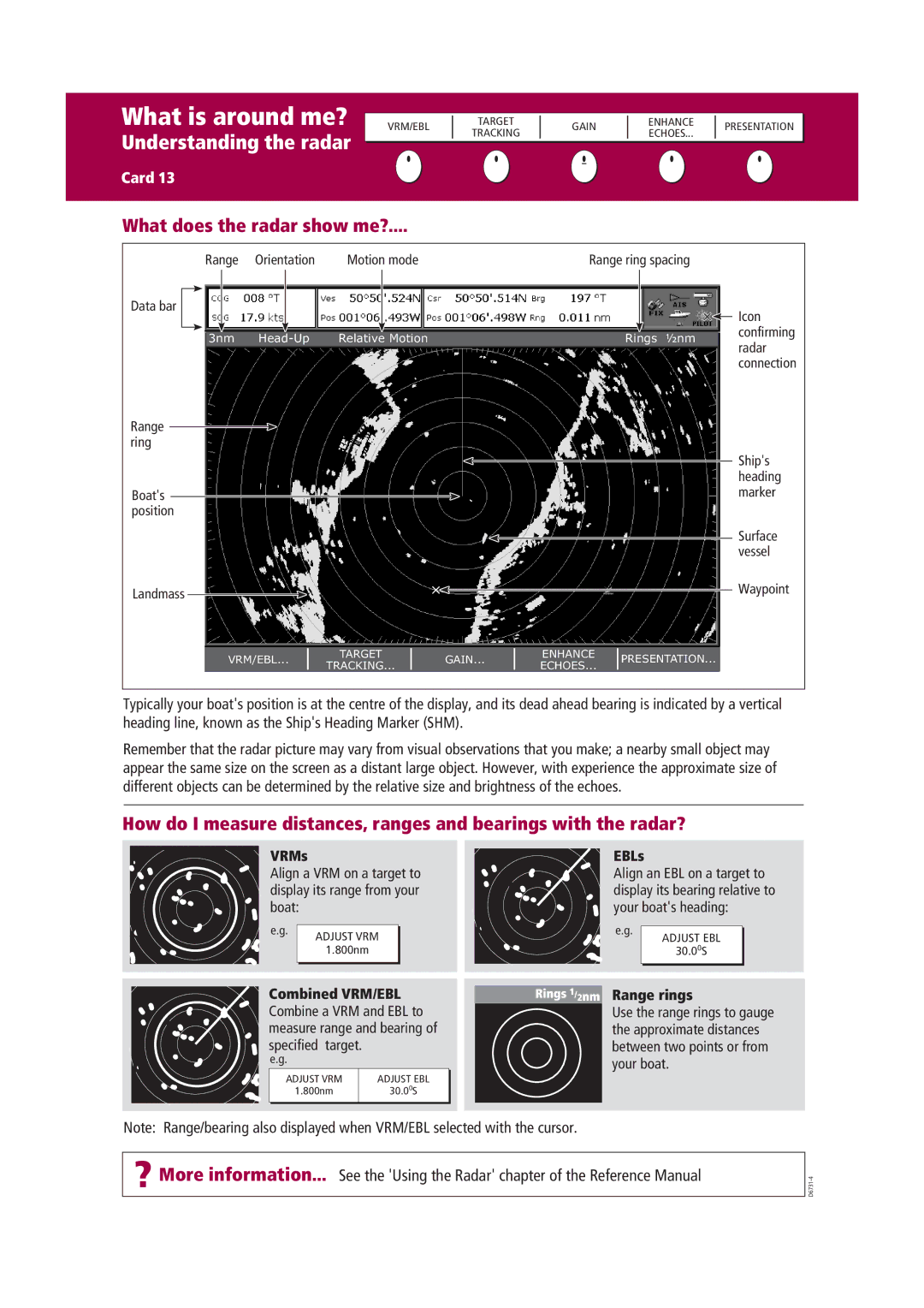
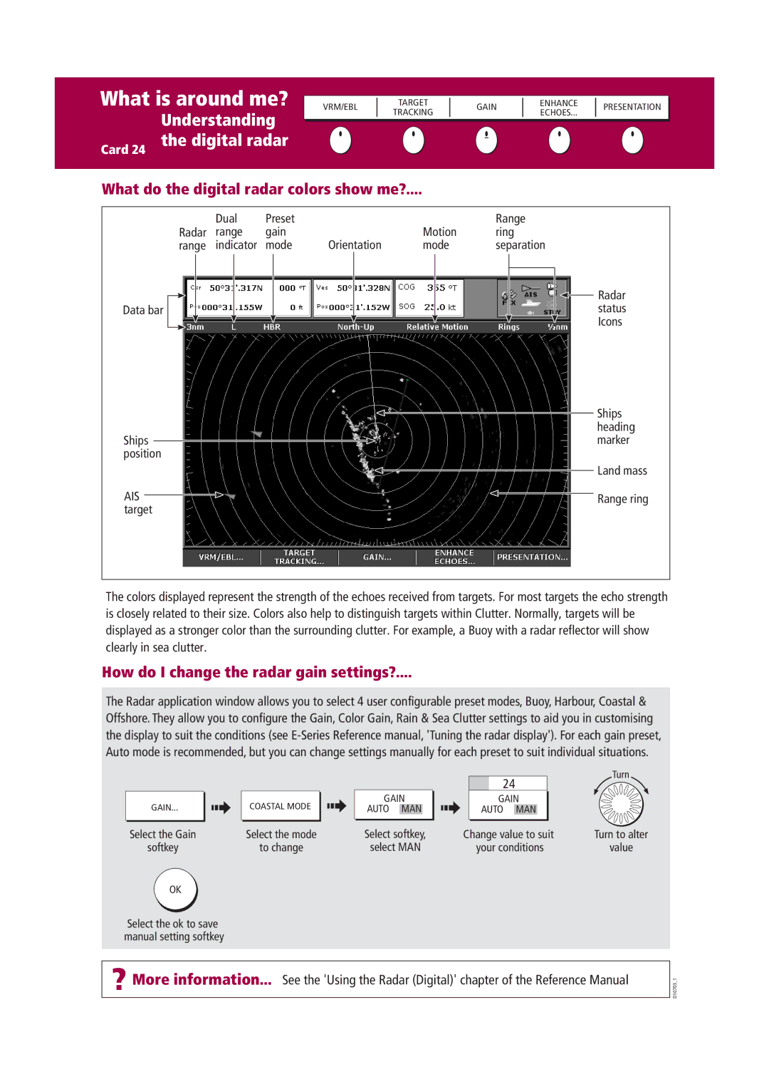
Raymarine Marine RADAR systems are essential tools for navigating the high seas, providing boaters with unparalleled situational awareness and safety. Designed for both recreational and commercial vessels, Raymarine RADAR technology integrates advanced features and functionalities that enhance maritime experiences.One of the standout characteristics of Raymarine RADAR is its high-definition imaging capabilities. Utilizing both pulse compression and digital signal processing, these systems can distinguish between various targets, such as buoys, other vessels, and land obstacles. The improved resolution helps users to identify potential hazards and navigate more safely.
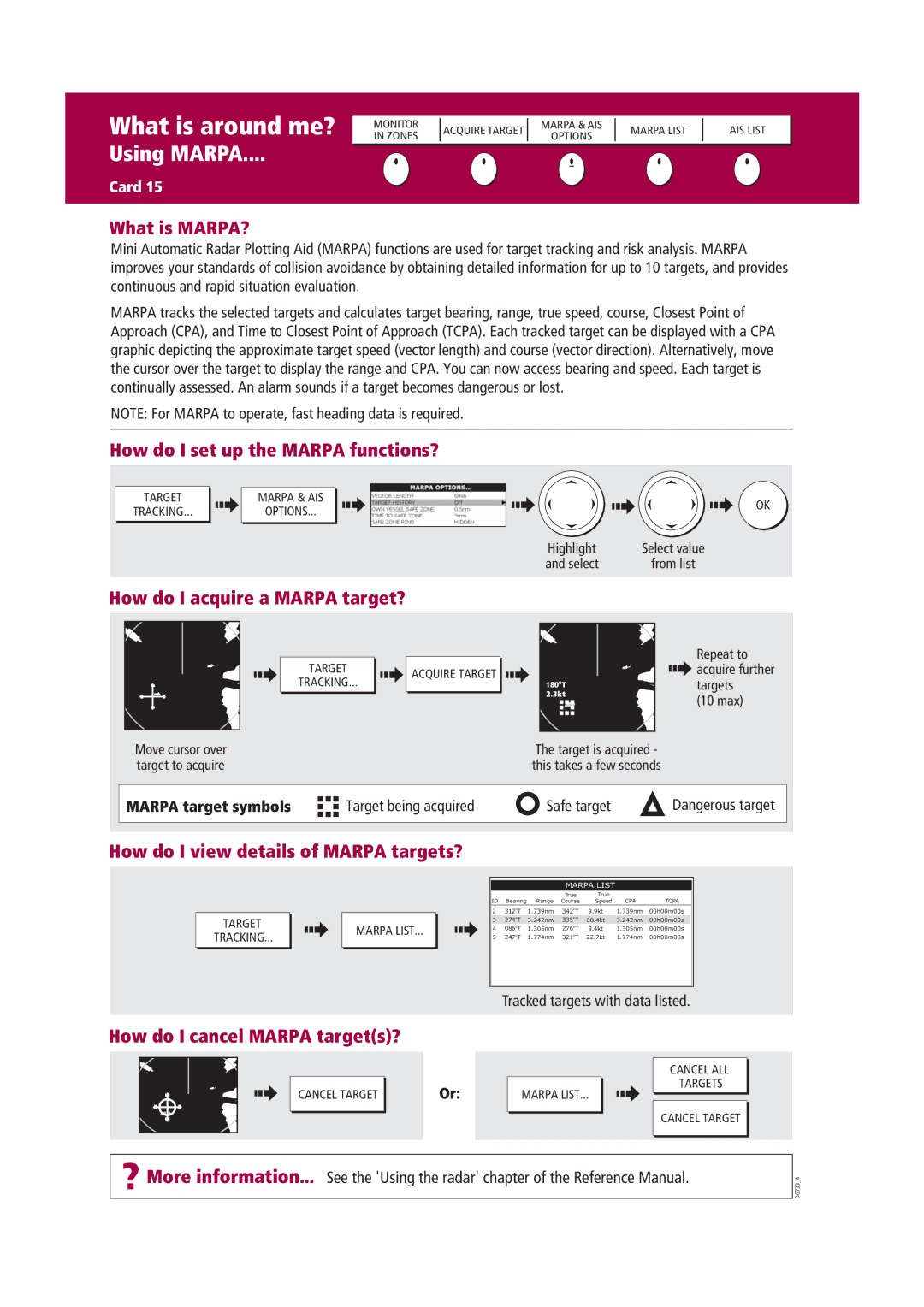
Raymarine offers a variety of RADAR models, including the Quantum and HD Series. The Quantum RADAR employs a revolutionary solid-state design that delivers exceptional performance while consuming less power. This is particularly beneficial for smaller vessels or those seeking to minimize energy consumption. The Quantum antenna features Doppler technology, which enhances motion detection and allows for real-time tracking of moving targets, providing critical information on their speed and direction.
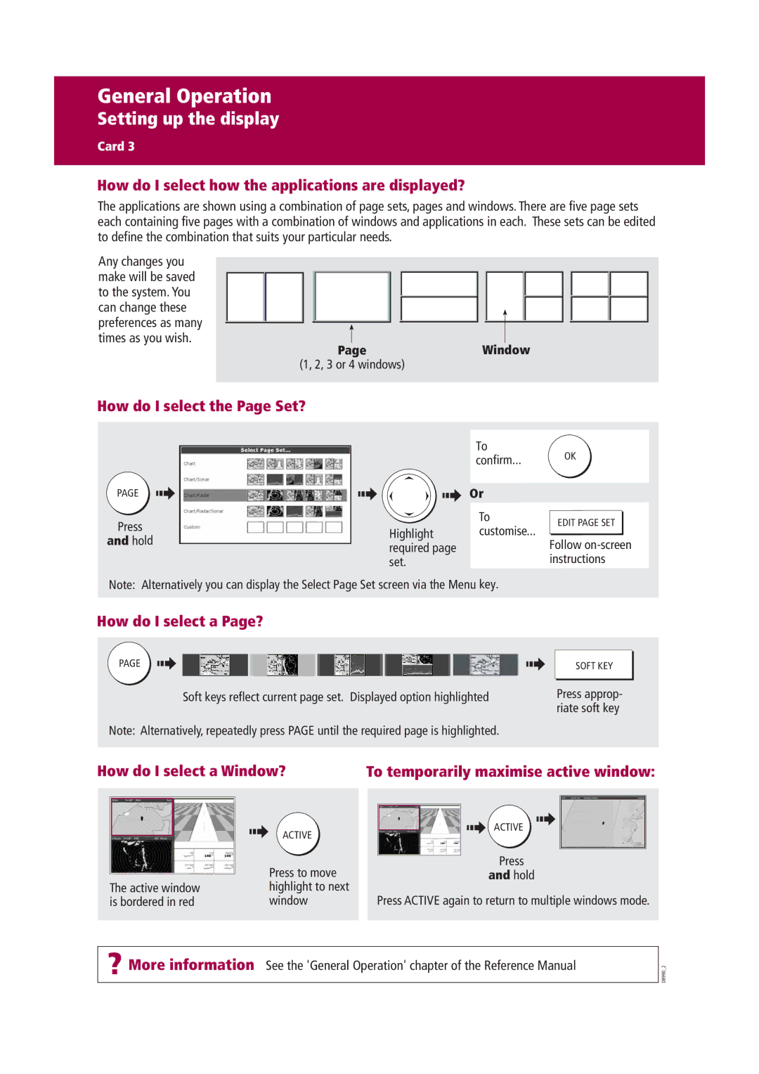
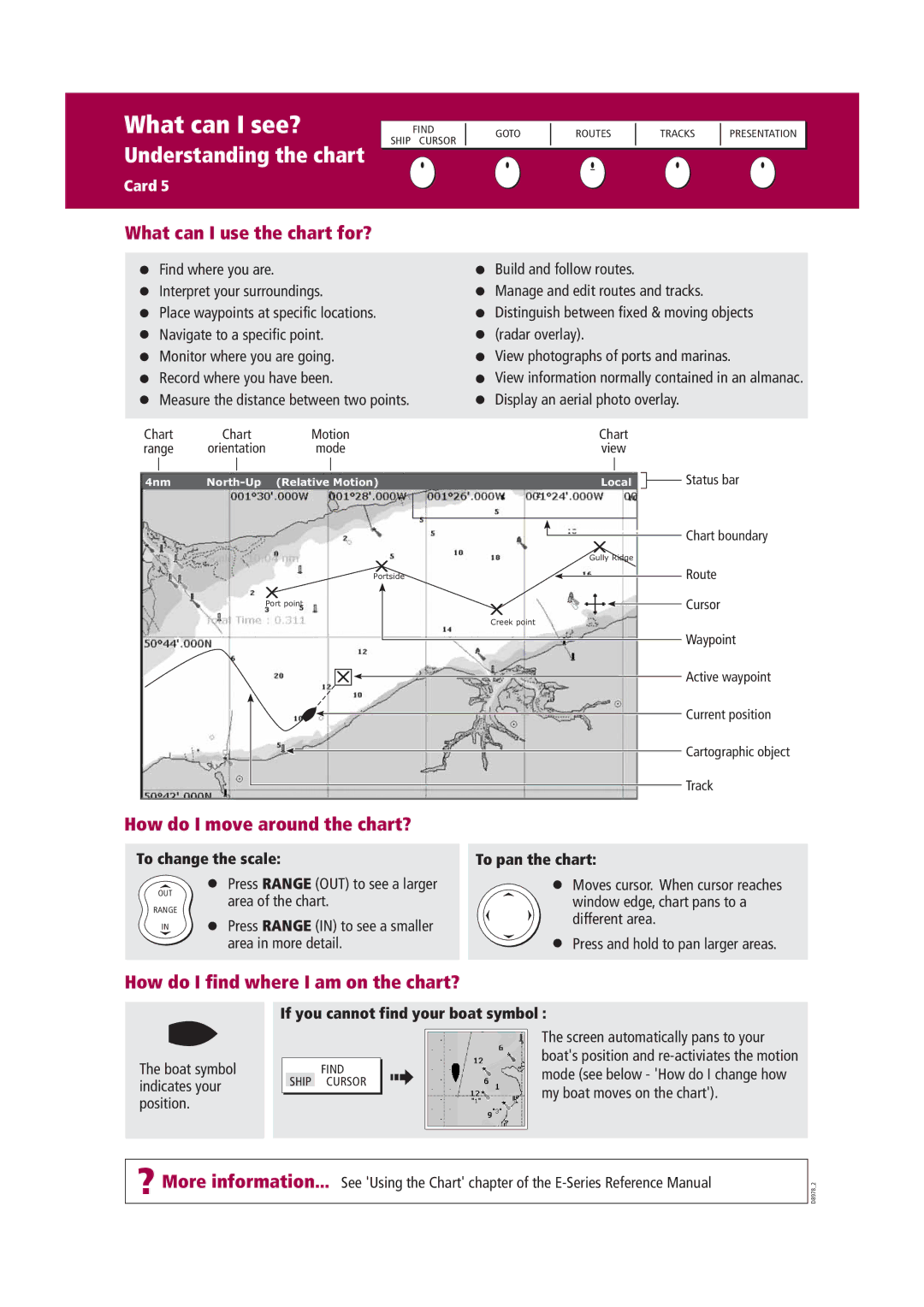
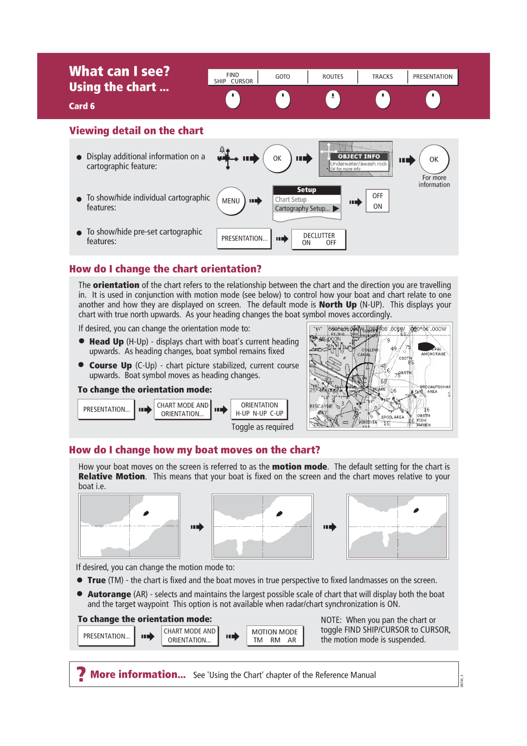
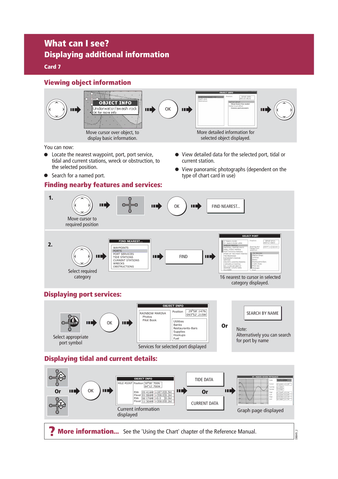
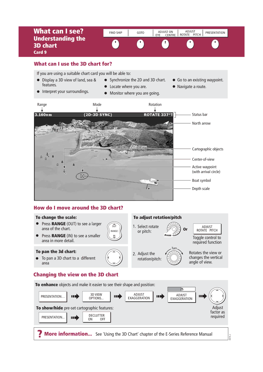
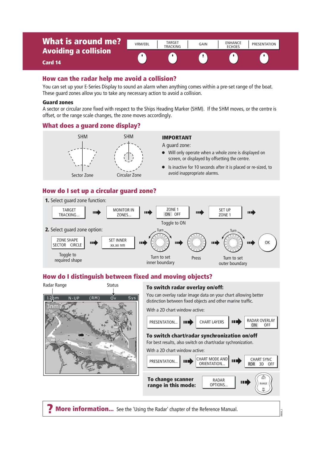
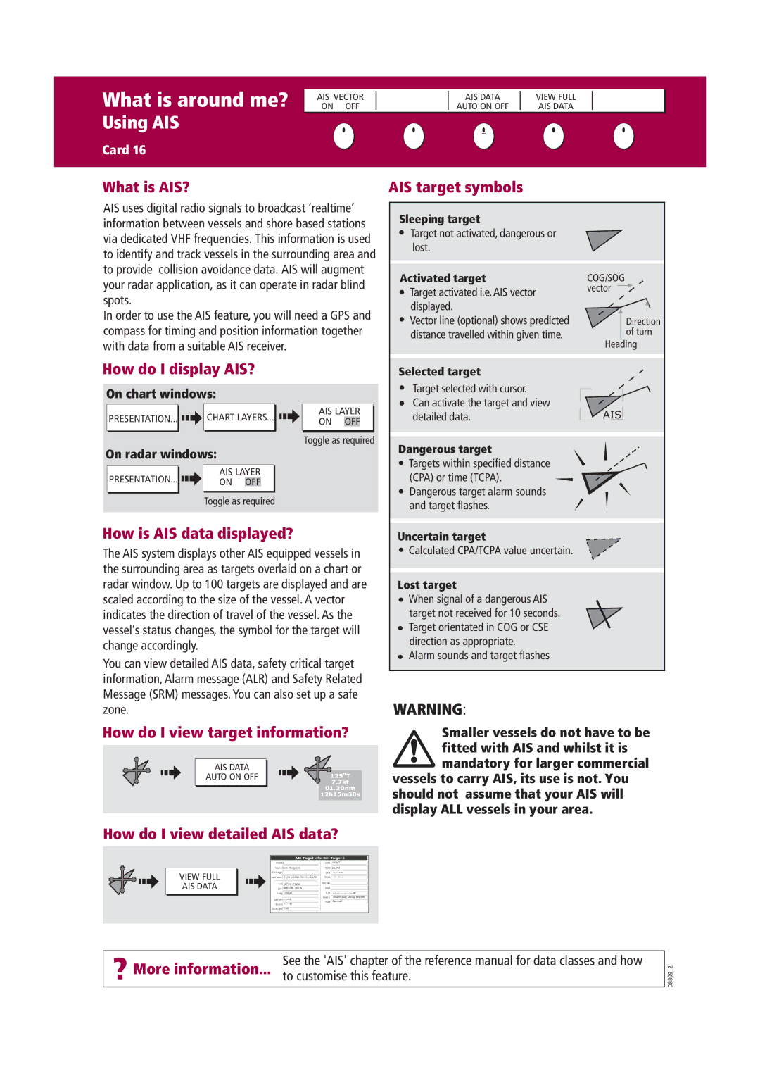
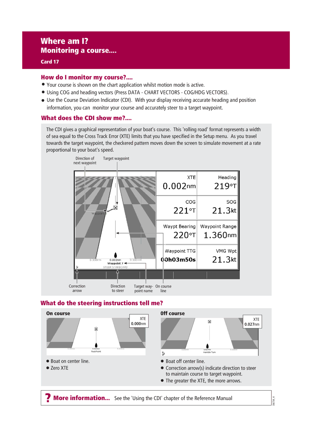
Another key feature of Raymarine RADAR systems is their integration with other onboard navigation systems. With access to Raymarine’s LightHouse user interface, the RADAR seamlessly connects with chartplotters, autopilots, and other sensors. This complete network enhances situational awareness, as users can overlay RADAR data on navigational charts for a comprehensive view of their surroundings.
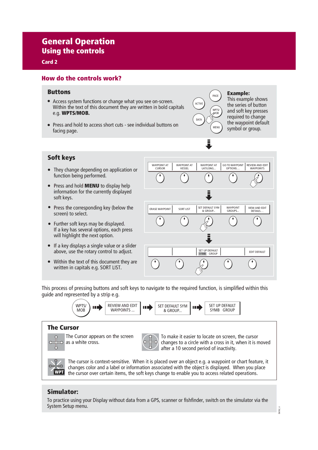
Raymarine also prioritizes user-friendly operability. The systems come equipped with intuitive controls and customizable displays, allowing users to adjust settings quickly and effortlessly, ensuring optimal performance in varying environmental conditions. These RADAR systems can automatically calibrate to changing conditions, such as rain or fog, to maintain clear visibility.
Safety and reliability are paramount in marine navigation, and Raymarine RADAR systems provide robust weather-resistant features. Their rugged construction ensures they can withstand harsh marine environments, while advanced noise reduction technology ensures clarity even in choppy waters.
Finally, Raymarine's commitment to innovation ensures that their RADAR systems are always ahead of the curve. With regular software updates and advancements in technology, boaters can trust that their equipment will remain cutting-edge throughout its lifespan. In summary, Raymarine Marine RADAR systems exemplify the perfect blend of technology, performance, and user-friendliness, making them essential tools for anyone venturing out on the water.
