Eagle Electronics 640c, Mapping GPS Receiver manual Basic GPS Quick Reference

Models: 640c Mapping GPS Receiver

1 136
Download 136 pages 6.05 Kb
Page 42
Image 42

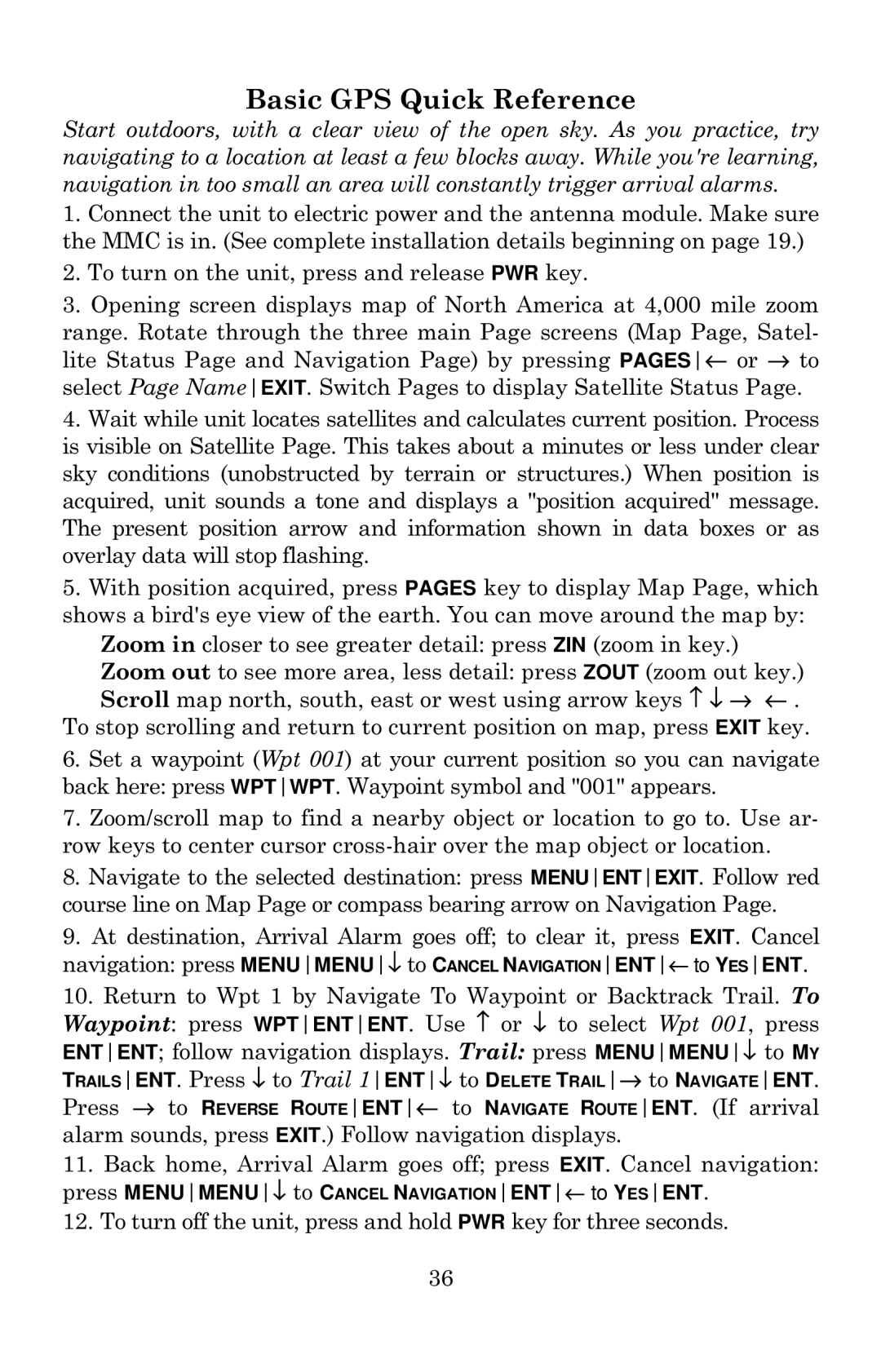
Basic GPS Quick Reference

Start outdoors, with a clear view of the open sky. As you practice, try navigating to a location at least a few blocks away. While you're learning, navigation in too small an area will constantly trigger arrival alarms.

1.Connect the unit to electric power and the antenna module. Make sure the MMC is in. (See complete installation details beginning on page 19.)

2.To turn on the unit, press and release PWR key.

3.Opening screen displays map of North America at 4,000 mile zoom

range. Rotate through the three main Page screens (Map Page, Satel- lite Status Page and Navigation Page) by pressing PAGESor to select Page NameEXIT. Switch Pages to display Satellite Status Page.

4.Wait while unit locates satellites and calculates current position. Process is visible on Satellite Page. This takes about a minutes or less under clear sky conditions (unobstructed by terrain or structures.) When position is acquired, unit sounds a tone and displays a "position acquired" message. The present position arrow and information shown in data boxes or as overlay data will stop flashing.

5.With position acquired, press PAGES key to display Map Page, which shows a bird's eye view of the earth. You can move around the map by:

Zoom in closer to see greater detail: press ZIN (zoom in key.)

Zoom out to see more area, less detail: press ZOUT (zoom out key.) Scroll map north, south, east or west using arrow keys ↑ ↓ → ← .

To stop scrolling and return to current position on map, press EXIT key.

6.Set a waypoint (Wpt 001) at your current position so you can navigate back here: press WPTWPT. Waypoint symbol and "001" appears.

7.Zoom/scroll map to find a nearby object or location to go to. Use ar- row keys to center cursor cross-hair over the map object or location.

8.Navigate to the selected destination: press MENUENTEXIT. Follow red course line on Map Page or compass bearing arrow on Navigation Page.

9.At destination, Arrival Alarm goes off; to clear it, press EXIT. Cancel navigation: press MENUMENUto CANCEL NAVIGATIONENTto YESENT.

10.Return to Wpt 1 by Navigate To Waypoint or Backtrack Trail. To Waypoint: press WPTENTENT. Use or to select Wpt 001, press ENTENT; follow navigation displays. Trail: press MENUMENUto MY

TRAILSENT. Press to Trail 1ENTto DELETE TRAILto NAVIGATEENT.

Press to REVERSE ROUTEENTto NAVIGATE ROUTEENT. (If arrival alarm sounds, press EXIT.) Follow navigation displays.

11.Back home, Arrival Alarm goes off; press EXIT. Cancel navigation: press MENUMENUto CANCEL NAVIGATIONENTto YESENT.

12.To turn off the unit, press and hold PWR key for three seconds.

36

Page 42
Image 42
Eagle Electronics 640c, Mapping GPS Receiver manual Basic GPS Quick Reference

640c, Mapping GPS Receiver specifications

Eagle Electronics has made a significant mark in the world of marine electronics with its innovative and reliable products, notably the Eagle Electronics 640C, 640cDF, and the 640c models. These devices are designed for anglers and navigators who seek advanced functionality combined with user-friendly operation.

The Eagle Electronics 640C is a high-performance fish finder that is primarily admired for its vibrant display and precise mapping capabilities. Equipped with a 640x480 pixel, full-color LCD screen, it provides crystal-clear visibility even in bright sunlight. This device uses advanced sonar technology to offer detailed underwater images, allowing users to locate fish with remarkable accuracy. The high-resolution graphics enhance the experience while providing an intuitive interface for easy navigation through its various features.

The 640cDF, a variant of the 640C, elevates the standard fish finder experience by incorporating dual-frequency sonar capabilities. This model operates on both 200 kHz and 83 kHz frequencies, allowing users to switch between narrow and wide beams based on their fishing needs. The dual-frequency technology provides a more comprehensive view of the underwater environment, making it easier to identify different types of fish and underwater structures. Additionally, the 640cDF boasts temperature sensing capabilities, giving anglers valuable data regarding water conditions that can influence fish behavior.

All models in the Eagle 640 series feature built-in GPS navigation. The integrated GPS provides a reliable mapping system that allows users to mark waypoints and create routes, significantly improving navigation efficiency. This technology is vital for those who engage in long-distance fishing trips or travel in unfamiliar waters. The GPS functionality, combined with the sonar capabilities, makes these devices essential tools for successful fishing excursions.

Furthermore, the Eagle 640 series devices come equipped with customizable display options, allowing users to tailor the information presented based on their preferences. The intuitive menu system simplifies the navigation of the device's various features, empowering users to quickly access critical data without unnecessary complications.

In summary, the Eagle Electronics 640C, 640cDF, and the 640c represent a blend of cutting-edge technology and user-centric design in the marine electronics space. With features such as high-resolution displays, dual-frequency sonar, built-in GPS navigation, and customizable settings, these devices enhance the fishing experience, making them invaluable assets for anglers and navigators alike.