3D specifications
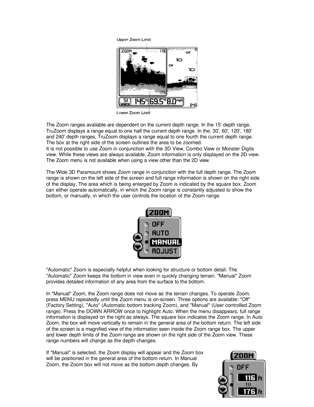
Humminbird 3D is a groundbreaking sonar technology that has revolutionized the way anglers and marine enthusiasts navigate and fish under the surface of water. Utilizing advanced imaging techniques, this system provides an unparalleled view of underwater structures, fish, and other elements, making it a vital tool for any serious angler.At its core, Humminbird 3D employs a proprietary sonar technology that combines traditional 2D sonar with sophisticated 3D mapping capabilities. This dual functionality allows users to visualize underwater environments in a way that was previously unimaginable. The 3D views offer depth perception, enabling anglers to identify ledges, drop-offs, and other crucial fishing spots with precision. Instead of just a flat representation, users can see the terrain's contours, making it easier to understand the underwater landscape.
One of the standout features of Humminbird 3D is its ability to create real-time three-dimensional maps. This allows users to dynamically adjust their strategies while fishing, as they can continually monitor how fish are interacting with their surroundings. Furthermore, the system boasts enhanced target separation capabilities, making it easier to distinguish between individual fish and structures.
Another key technology utilized in Humminbird 3D is its integration with the CHIRP (Compressed High-Intensity Radiated Pulse) sonar technology. This allows for clearer images and improved target resolution, providing comprehensive details about various underwater elements. The result is greater accuracy in identifying fish species and understanding their behavior in relation to underwater structures.
Humminbird 3D also features an easy-to-use interface, designed to be intuitive for users of all experience levels. The system can be seamlessly integrated into existing Humminbird products, enhancing the functionality of existing setups without requiring a complete overhaul. Additionally, it supports connectivity with other devices, allowing for the sharing of data and enhancing the overall fishing experience.
Durability and reliability are also characteristics inherent to the Humminbird 3D system. Designed for the harsh environments of marine use, it can withstand the rigors of fishing and boating, ensuring that users have a dependable tool at their disposal.
In summary, Humminbird 3D is a game-changer in the realm of sonar technology, providing anglers with unprecedented insights into underwater environments. Its combination of 3D mapping, CHIRP sonar, real-time monitoring, and user-friendly interface makes it a valuable asset for anyone looking to enhance their fishing experience and gain an edge on the water.

