After a night dodging storms over the Atlantic Ocean, Charles Lindbergh crossed the coast of Ireland just 3 miles off course.
Of Distance and Terrain
The first pilots spent much of their time flying precariously at exhibitions and in aerial circuses. But it wasn’t long before they attempted
In the spring of 1927, aviators lined up for another challenge: flying nonstop from New York to Paris. Many had already failed when Charles Lindbergh tried a new and daring
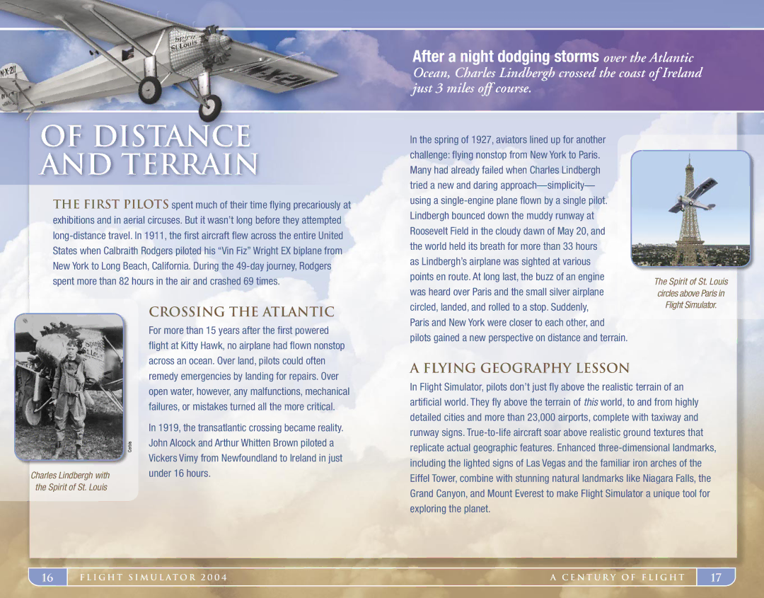
The Spirit of St. Louis circles above Paris in
Crossing the Atlantic
For more than 15 years after the first powered flight at Kitty Hawk, no airplane had flown nonstop across an ocean. Over land, pilots could often
circled, landed, and rolled to a stop. Suddenly, Paris and New York were closer to each other, and pilots gained a new perspective on distance and terrain.
Flight Simulator.
Charles Lindbergh with the Spirit of St. Louis
Corbis
remedy emergencies by landing for repairs. Over open water, however, any malfunctions, mechanical failures, or mistakes turned all the more critical.
In 1919, the transatlantic crossing became reality. John Alcock and Arthur Whitten Brown piloted a Vickers Vimy from Newfoundland to Ireland in just under 16 hours.
A Flying Geography Lesson
In Flight Simulator, pilots don’t just fly above the realistic terrain of an artificial world. They fly above the terrain of this world, to and from highly detailed cities and more than 23,000 airports, complete with taxiway and runway signs.
16
F L I G H T S I M U L AT O R 2 0 0 4 | A C E N T U R Y O F F L I G H T |
17