FAR-2157 specifications
The Furuno FAR-2157 is a cutting-edge radar system specifically designed for marine applications, offering superior performance and advanced features. As part of the renowned FAR series, the FAR-2157 stands out with its impressive capabilities, making it essential for navigating both commercial and leisure vessels.One of the main features of the FAR-2157 is its 12 kW transmitter, which facilitates long-range detection and precise target tracking. The radar operates on the X-band frequency, ensuring high-resolution imagery and outstanding target separation in various conditions. This enables operators to detect small targets and navigate safely, even in congested waters.
Equipped with Furuno's advanced Digital Signal Processing (DSP) technology, the FAR-2157 enhances target detection by reducing clutter and improving signal clarity. This results in an increased ability to identify vessels, buoys, and landmasses, thereby greatly enhancing situational awareness. The radar is designed to automatically adjust gain, sea clutter, and rain clutter settings, allowing for consistently optimal performance without the need for constant manual intervention.
Another notable characteristic of the FAR-2157 is its ability to integrate with other onboard systems such as chart plotters and AIS (Automatic Identification System). This integration allows for the seamless overlay of radar data onto electronic charts, enabling mariners to monitor navigation and potential hazards in real time. Additionally, the radar supports the MARPA (Mini Automatic Radar Plotting Aid) system, allowing users to track the movement of multiple targets and predict their future positions, aiding in collision avoidance.
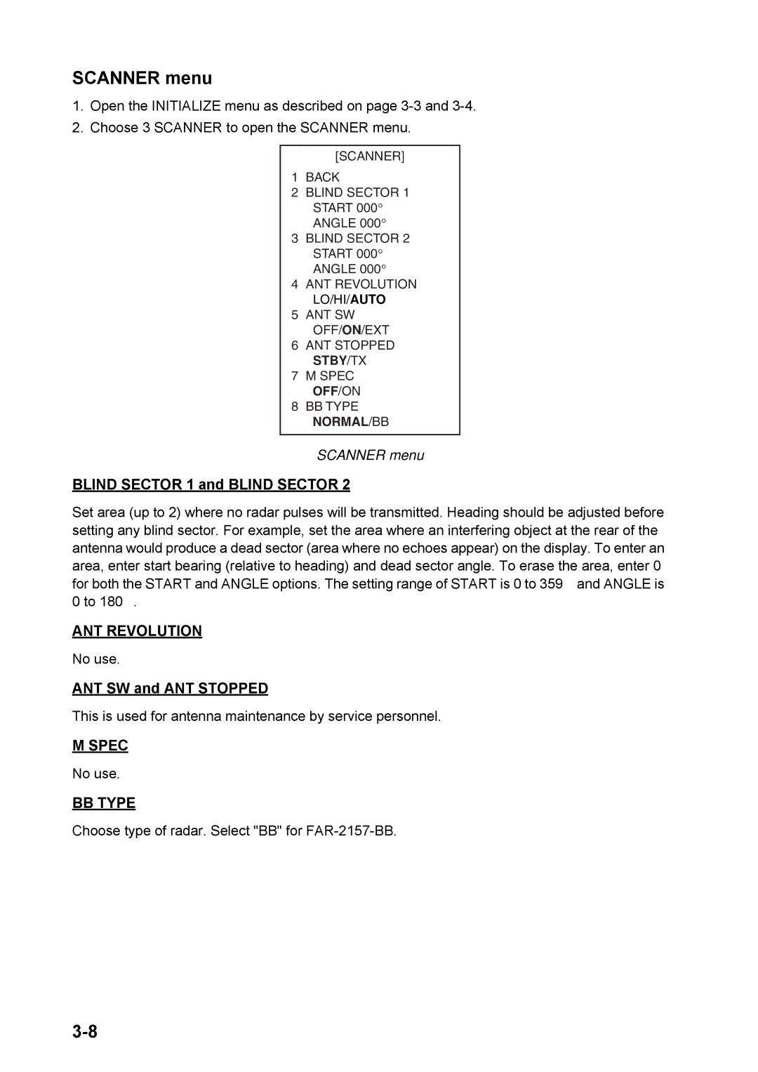
The user interface of the FAR-2157 is designed with simplicity in mind, featuring a large and intuitive display. The menu-driven setup and user-friendly controls ensure that operators can easily access essential functions and settings. Furthermore, the display is sunlight-readable, which is crucial for visibility in bright conditions.
The Furuno FAR-2157 is built to withstand the rigors of the maritime environment. It is equipped with a rugged dome antenna, ensuring durability against harsh weather conditions and vibrations. The system also includes a built-in self-diagnosis function, which helps maintain optimal performance by identifying potential issues before they become critical.
Overall, the Furuno FAR-2157 radar system combines advanced technology with user-friendly features, making it an ideal choice for marine professionals seeking reliable and efficient navigation assistance. With its powerful capabilities, the FAR-2157 enhances safety and efficiency on the water, making it a valuable addition to any vessel's navigation suite.

