F E A T U R E S | o f | E C D I S |
|
|
|
sThe electronic chart can be overlaid with a variety of navigation data such as Radar echo images, ship’s position, heading, speed and others to facilitate safe and efficient navigation.
sCompatible with ENC (S57 Edition 3) charts, ARCS charts and
*available in the near future
sComplies with the following IMO and IEC regulations:
• IMO A.817(19) | • IMO MSC.64(67) Annex 5 |
• IMO MSC.86(70) Annex 4 | • IMO A.694(17) |
• IEC 61174 edition 2 | • IEC 60945 edition 4 |
• IEC | • IEC |
ENC IHO S57 Edition 3
sFlexible expandability allows the ECDIS to be networked with radar/ARPA, positioning equipment, autopilot and others to consolidate the navigation system
sDisplays 200 AIS targets |
When connected to an optional AIS transponder, the
Sleeping AIS Target Activated Target Selected Target | Lost Target | Dangerous Target |
sStreamlined design
The color scheme of the optional pedestal is a stylish pearl white and gray. The streamline design fits perfectly in the modern bridge.
Optional pedestal
The use of 20.1"/23.1"
The LCDs also allows for installation where space is limited.
sErgonomically designed control panel provides ease-of-use
The ergonomically designed control panel consists of a trackball, a thumbwheel and a keyboard. The logically arranged keyboard provides intuitive operation. Optionally, the compact control head only with a trackball and
a thumbwheel is available for
Palm control unit
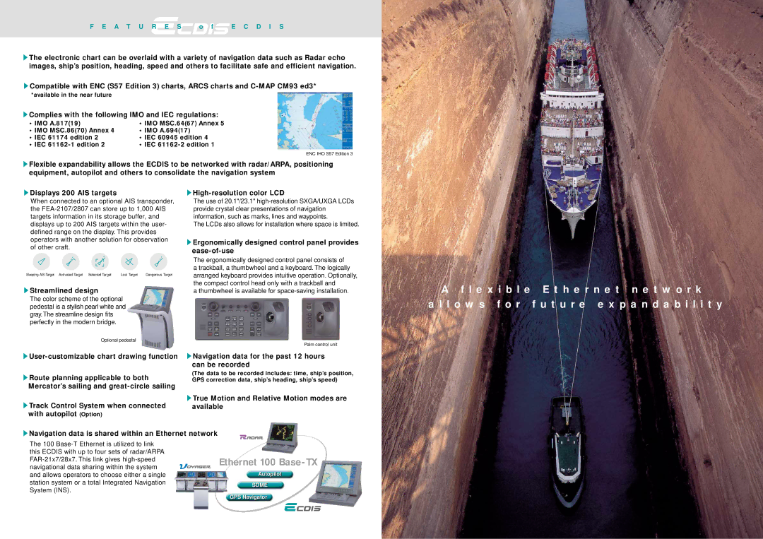
A f l e x i b l e E t h e r n e t n e t w o r k
a l l o w s f o r f u t u r e e x p a n d a b i l i t y
sRoute planning applicable to both
Mercator’s sailing and
sTrack Control System when connected with autopilot (Option)
sNavigation data for the past 12 hours can be recorded
(The data to be recorded includes: time, ship’s position, GPS correction data, ship’s heading, ship’s speed)
sTrue Motion and Relative Motion modes are available
sNavigation data is shared within an Ethernet network
The 100
Ethernet 100 Base-TX
Autopilot
SDME
GPS Navigator