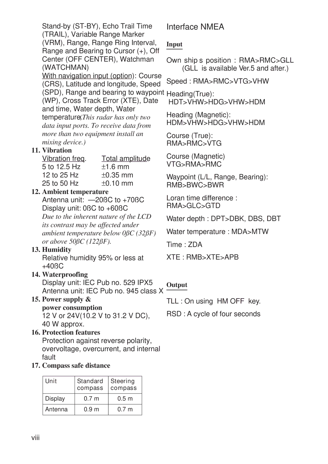
With navigation input (option): Course (CRS), Latitude and longitude, Speed (SPD), Range and bearing to waypoint (WP), Cross Track Error (XTE), Date and time, Water depth, Water temperature. (This radar has only two data input ports. To receive data from more than two equipment install an
mixing device.) |
|
11. Vibration |
|
Vibration freq. | Total amplitude |
5 to 12.5 Hz | ±1.6 mm |
12 to 25 Hz | ±0.35 mm |
25 to 50 Hz | ±0.10 mm |
12.Ambient temperature
Antenna unit:
Display unit: 0˚C to +60˚C
Due to the inherent nature of the LCD its contrast may be affected under ambient temperature below 0˚C (32˚F) or above 50˚C (122˚F).
13.Humidity
Relative humidity 95% or less at +40˚C
14.Waterproofing
Display unit: IEC Pub no. 529 IPX5
Antenna unit: IEC Pub no. 945 class X
15.Power supply & power consumption
12 V or 24V(10.2 V to 31.2 V DC),
40 W approx.
16.Protection features
Protection against reverse polarity, overvoltage, overcurrent, and internal fault
17.Compass safe distance
Unit | Standard | Steering |
| compass | compass |
|
|
|
Display | 0.7 m | 0.5 m |
|
|
|
Antenna | 0.9 m | 0.7 m |
|
|
|
Interface NMEA
Input
Own ship’s position : RMA>RMC>GLL (GLL is available Ver.5 and after.)
Speed : RMA>RMC>VTG>VHW
Heading(True):
HDT>VHW>HDG>VHW>HDM
Heading (Magnetic): HDM>VHW>HDG>VHW>HDM
Course (True):
RMA>RMC>VTG
Course (Magnetic)
VTG>RMA>RMC
Waypoint (L/L, Range, Bearing):
RMB>BWC>BWR
Loran time difference :
RMA>GLC>GTD
Water depth : DPT>DBK, DBS, DBT
Water temperature : MDA>MTW
Time : ZDA
XTE : RMB>XTE>APB
Output
TLL : On using “HM OFF” key.
RSD : A cycle of four seconds
viii
