Understanding the map
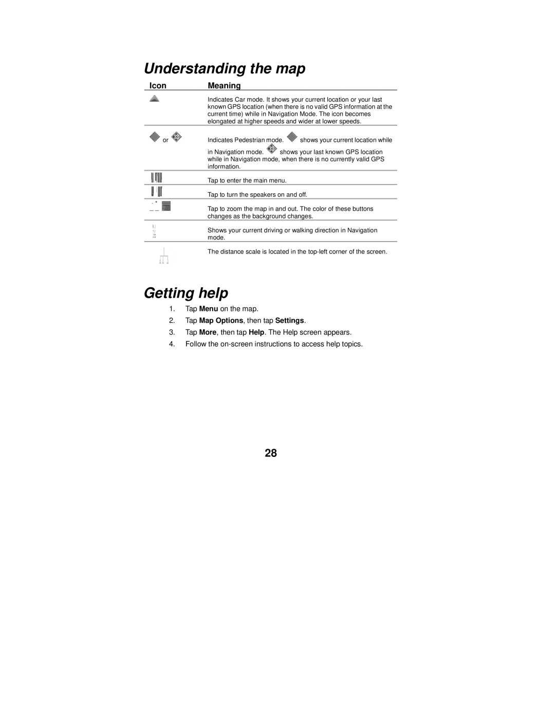
Icon Meaning
Indicates Car mode. It shows your current location or your last known GPS location (when there is no valid GPS information at the current time) while in Navigation Mode. The icon becomes elongated at higher speeds and wider at lower speeds.
or | Indicates Pedestrian mode. | shows your current location while |
in Navigation mode. ![]() shows your last known GPS location while in Navigation mode, when there is no currently valid GPS information.
shows your last known GPS location while in Navigation mode, when there is no currently valid GPS information.
Tap to enter the main menu.
Tap to turn the speakers on and off.
Tap to zoom the map in and out. The color of these buttons changes as the background changes.
Shows your current driving or walking direction in Navigation mode.
The distance scale is located in the
Getting help
1.Tap Menu on the map.
2.Tap Map Options, then tap Settings.
3.Tap More, then tap Help. The Help screen appears.
4.Follow the
28