CAP MENU (TURNTABLE ANTENNA SETTINGS)
INPUTTING THE CAP GPS POSITION
Function not available with the CAP 910 as the GPS data is automatically provided during your journey.
Note: To help ensure the required satellite is found quickly, the CAP 910 uses GPS data recorded during the journey. However, GPS data is only recorded if both the green ignition lead and the turntable are connected to the 12 V power supply (the receiver can remain switched off). If this is not possible, we recommend that you connect the turntable and the ignition signal to the 12 V power supply for approximately 3 minutes before setting up the system. The current GPS data will be provided during this time. Once the ignition signal has been removed, the receiver can be switched on. The CAP 910 now searches for satellites using the exact elevation.
TO MOVE THE ANTENNA MANUALLY
This function should be used only by experienced users. Exact knowledge of the satellite position and your present location are necessary when aligning the antenna manually to a satellite. Watch out for any obstacles that the antenna might collide with. The antenna is liable to be damaged by such collisions!
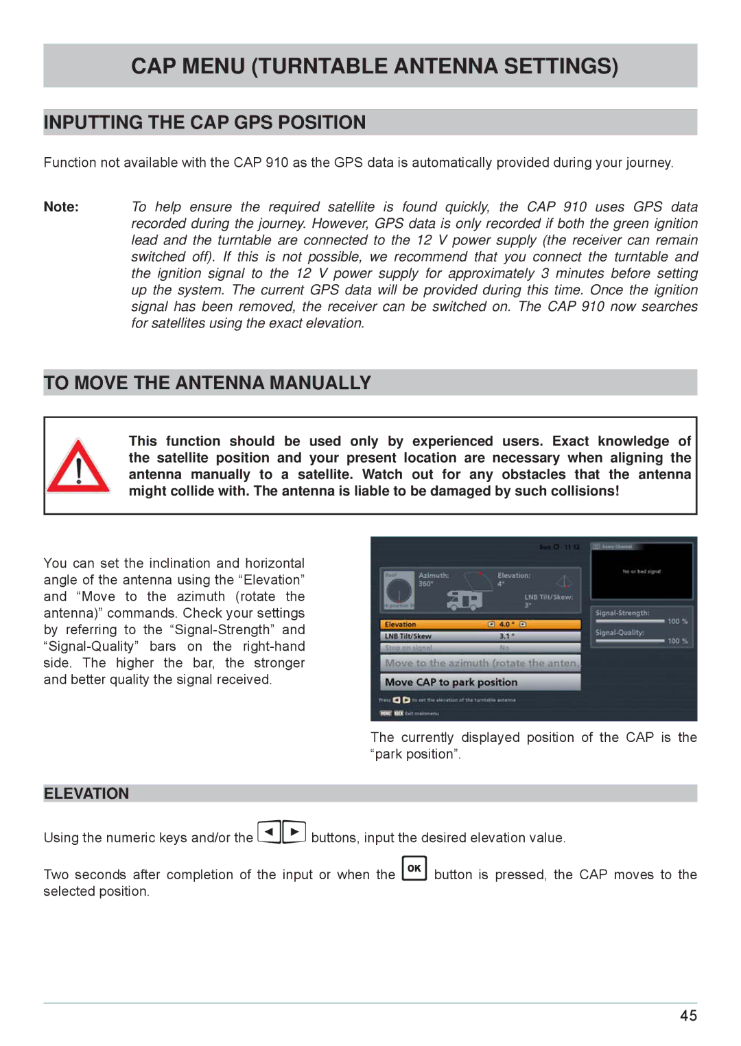
You can set the inclination and horizontal angle of the antenna using the “Elevation” and “Move to the azimuth (rotate the antenna)” commands. Check your settings by referring to the
The currently displayed position of the CAP is the “park position”.
ELEVATION
Using the numeric keys and/or the buttons, input the desired elevation value.
Two seconds after completion of the input or when the button is pressed, the CAP moves to the selected position.
45
