User's manual BLUE Edition
5.1Configuration of MobileNavigator
Configuration | In MobileNavigator, you may modify the following settings: |
| Map information, see below. |
| Route information, see page 67. |
| Volume, see page 67. |
| Representation, see page 68, see page 69. |
| Touch screen calibration, see page 68 |
| Auto mode, see page 68. |
| Speed profile, see page 69. |
| Itinerary, see page 69. |
| Time zone, see page 69. |
| Itinerary, see page 69. |
| Format, see page 69. |
| Home address, see page 70. |
| |
| On the main screen, tap the Settings button to configure |
| MobileNavigator. |
| On the SETTINGS screen, tap the Save button to apply your |
| modifications if you have made some. |
5.1.1Map information
Info on the map | On the INFO ON THE MAP screen, you may effect the following | ||
|
| modifications: |
|
|
|
|
|
|
| Element | Signification |
|
|
|
|
|
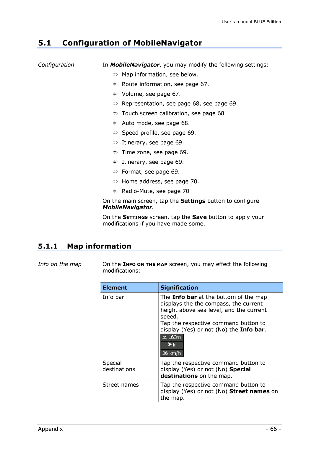
| Info bar | The Info bar at the bottom of the map |
|
|
| displays the the compass, the current |
|
|
| height above sea level, and the current |
|
|
| speed. |
|
|
| Tap the respective command button to |
|
|
| display (Yes) or not (No) the Info bar. |
Special | Tap the respective command button to |
destinations | display (Yes) or not (No) Special |
| destinations on the map. |
|
|
Street names | Tap the respective command button to |
| display (Yes) or not (No) Street names on |
| the map. |
Appendix | - 66 - |