1.RADAR MAP
A radar map is a combination map lines and symbols whereby the user can define and input the navigation data, route planning and monitoring data.
The radar map has the capacity of 1,500 points of mark and line. The map data can be memorized to facilitate the repeated use on the routine navigation area. The user can create a radar map
Note: Own ship position display requires an input from radionavigational equipment such as a GPS receiver in accordance with the format as defined by IEC
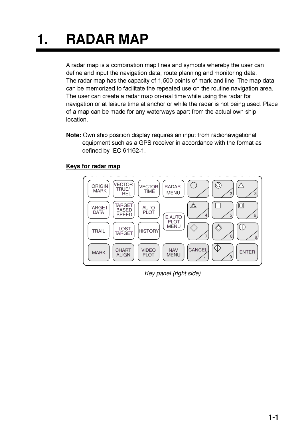
Keys for radar map
ORIGIN | VECTOR | VECTOR | RADAR |
|
|
| |
TRUE/ |
|
|
| ||||
MARK | TIME | MENU |
|
|
| ||
REL | 1 | 2 | 3 | ||||
|
| ||||||
TARGET | TARGET | AUTO |
|
|
|
| |
BASED |
|
|
|
| |||
DATA | PLOT |
|
|
|
| ||
SPEED | E,AUTO | 4 | 5 | 6 | |||
|
| ||||||
|
|
|
|
|
| ||
|
|
| PLOT |
|
|
| |
TRAIL | LOST | HISTORY | MENU |
|
|
| |
|
|
|
| ||||
TARGET |
|
|
|
| |||
|
|
| 7 | 8 | 9 | ||
|
|
|
| ||||
MARK | CHART | VIDEO | NAV | CANCEL |
| ENTER | |
ALIGN | PLOT | MENU | - | 0 | |||
|
| ||||||
|
|
|
|
|