GPS Enabled
Using GPS with Map Software
You can use the GPS feature of your phone to provide approximate location data to a laptop computer or similar device that is running interactive map software such as that made by DeLorme or Microsoft. This way, if your phone has good access to GPS signals, your approximate position on a map can be made available as you travel in a vehicle.
To do this, connect your phone to your laptop (or other device) with a data cable and set your phone to transmit data (see “Getting Started” on page 74). Your phone then provides your approximate location to the device running the map software, which displays your location on a map. Your phone provides an updated location every second and the map software displays your changing location on its map.
See “Enhancing GPS Performance” on page 70 for more details on obtaining good location information.
Note: Because your phone is continuously determining your location, using the GPS feature of your phone with map software uses the phone’s battery power quickly.
Software Compatibility
Your phone sends location information to your laptop or other device using the standard National Marine Electronics Association (NMEA) format. Your phone supports output messages in
The map software running on your laptop or other device must support NMEA 3.0.
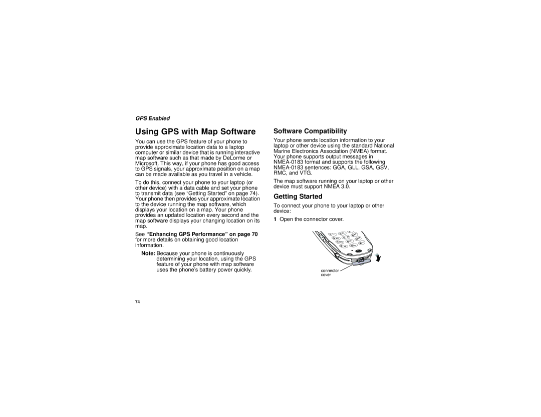
Getting Started
To connect your phone to your laptop or other device:
1Open the connector cover.
connector ![]() cover
cover
74