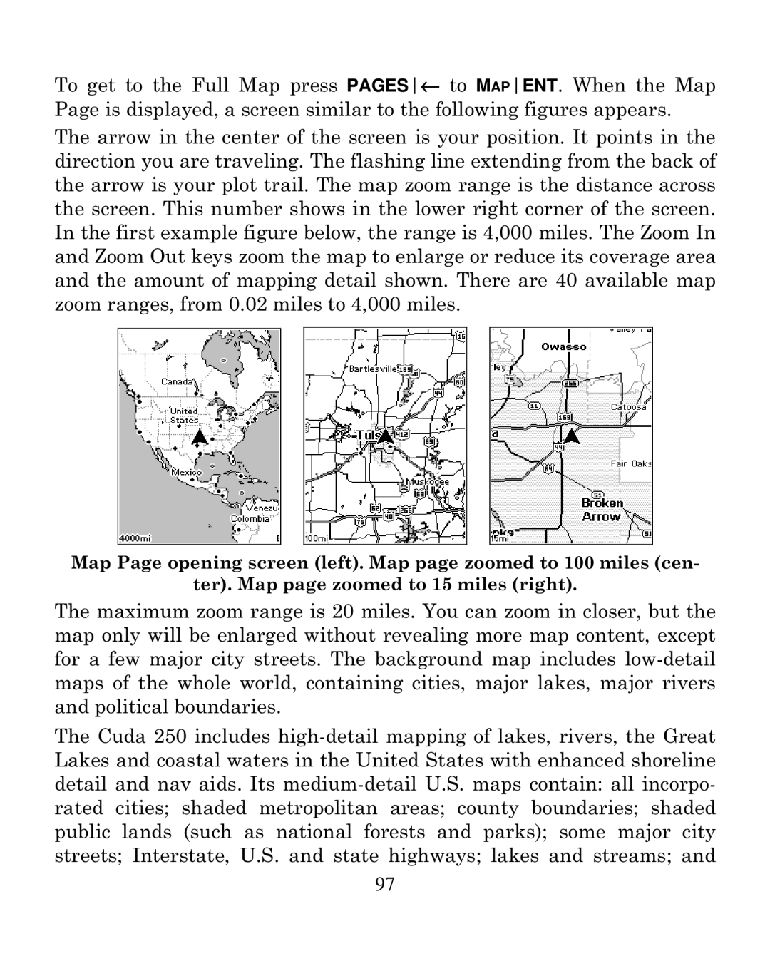
To get to the Full Map press PAGES← to MAPENT. When the Map Page is displayed, a screen similar to the following figures appears. The arrow in the center of the screen is your position. It points in the direction you are traveling. The flashing line extending from the back of the arrow is your plot trail. The map zoom range is the distance across the screen. This number shows in the lower right corner of the screen. In the first example figure below, the range is 4,000 miles. The Zoom In and Zoom Out keys zoom the map to enlarge or reduce its coverage area and the amount of mapping detail shown. There are 40 available map zoom ranges, from 0.02 miles to 4,000 miles.
Map Page opening screen (left). Map page zoomed to 100 miles (cen-
ter). Map page zoomed to 15 miles (right).
The maximum zoom range is 20 miles. You can zoom in closer, but the map only will be enlarged without revealing more map content, except for a few major city streets. The background map includes
The Cuda 250 includes
97