5. GPS OPERATION
5.2Datum
Choose the datum type which matches the paper nautical charts you are using. Choose
1.Press the MENU key to show the menu.
2.Choose GPS and press the ENTER key.
3.Choose Datum and press the ENTER key.
Tokyo
Other
4.Choose appropriate datum type and press the ENTER key. For Other, do steps 5 and 6. For other choices, go to step 7.
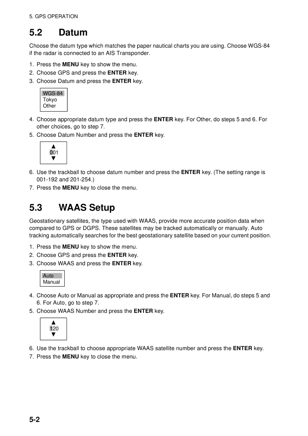
5.Choose Datum Number and press the ENTER key.
001
6.Use the trackball to choose datum number and press the ENTER key. (The setting range is
7.Press the MENU key to close the menu.
5.3WAAS Setup
Geostationary satellites, the type used with WAAS, provide more accurate position data when compared to GPS or DGPS. These satellites may be tracked automatically or manually. Auto tracking automatically searches for the best geostationary satellite based on your current position.
1.Press the MENU key to show the menu.
2.Choose GPS and press the ENTER key.
3.Choose WAAS and press the ENTER key.
Auto
Manual
4.Choose Auto or Manual as appropriate and press the ENTER key. For Manual, do steps 5 and 6. For Auto, go to step 7.
5.Choose WAAS Number and press the ENTER key.
120
6.Use the trackball to choose appropriate WAAS satellite number and press the ENTER key.
7.Press the MENU key to close the menu.