Using the map function
Displaying your current location on a map
When positioning is executed successfully using GPS, you can display your current location on a map.
••Make sure to set [GPS Setting] to [ON]. (→129)
 Press [MAP] button in playback mode
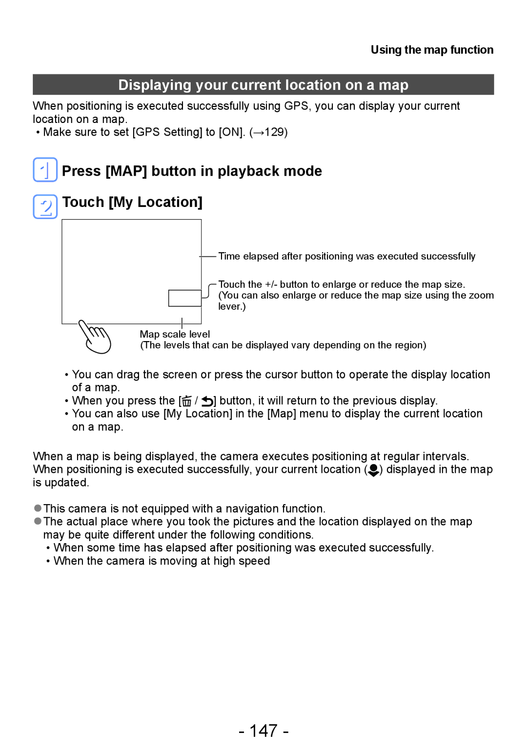
 Touch [My Location]
Time elapsed after positioning was executed successfully
Touch the +/- button to enlarge or reduce the map size.
(You can also enlarge or reduce the map size using the zoom lever.)
Map scale level
(The levels that can be displayed vary depending on the region)
••You can drag the screen or press the cursor button to operate the display location of a map.
••When you press the [![]() / ] button, it will return to the previous display.
/ ] button, it will return to the previous display.
••You can also use [My Location] in the [Map] menu to display the current location on a map.
When a map is being displayed, the camera executes positioning at regular intervals. When positioning is executed successfully, your current location ( ![]() ) displayed in the map is updated.
) displayed in the map is updated.
●●This camera is not equipped with a navigation function.
●●The actual place where you took the pictures and the location displayed on the map may be quite different under the following conditions.
••When some time has elapsed after positioning was executed successfully. ••When the camera is moving at high speed