Chart View
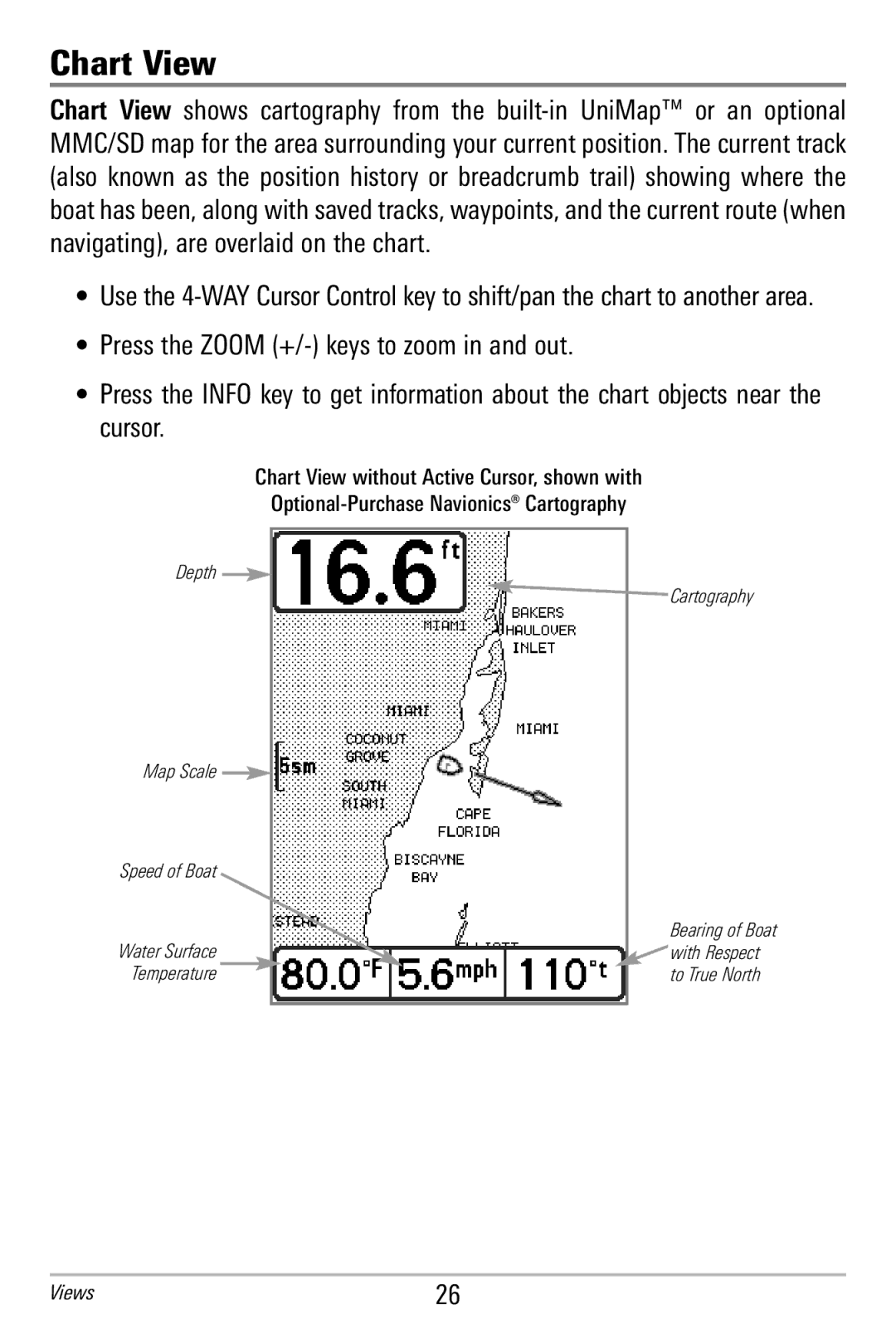
Chart View shows cartography fr om t he bu ilt-in U niMap™ or an optional MMC/SD map for the area surrounding your current position. The current track (also known as t he position hist ory or b readcrumb trail) sh owing w here the boat has been, along with saved tracks, waypoints, and the current route (when navigating), are overlaid on the chart.
•Use the 4-WAY Cursor Control key to shift/pan the chart to another area.
•Press the ZOOM (+/-) keys to zoom in and out.
•Press the INF O key to get i nformation about the chart objects near the cursor.
Chart View without Active Cursor, shown with
Optional-Purchase Navionics® Cartography
Depth 
Map Scale 
Speed of Boat
Water Surface
Temperature
Cartography
Bearing of Boat with Respect to True North