Chapter 5: Mapping
5. Mapping
The mapping feature allows instant visual feedback about a sensor’s position and status. It is a useful monitoring tool for a setup with several sensors in different positions.
This tutorial provides you with the information needed to set up the mapping feature.
To get to the starting point of this tutorial:
•Log in as administrator.
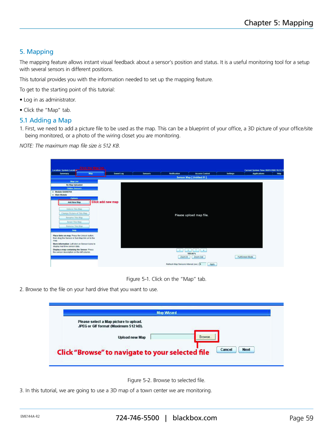
•Click the “Map” tab.
5.1 Adding a Map
1.First, we need to add a picture file to be used as the map. This can be a blueprint of your office, a 3D picture of your office/site being monitored, or a photo of the wiring closet you are monitoring.
NOTE: The maximum map file size is 512 KB.
Figure 5-1. Click on the “Map” tab.
2. Browse to the file on your hard drive that you want to use.
Figure 5-2. Browse to selected file.
3. In this tutorial, we are going to use a 3D map of a town center we are monitoring.
Page 59 | ||
|
|