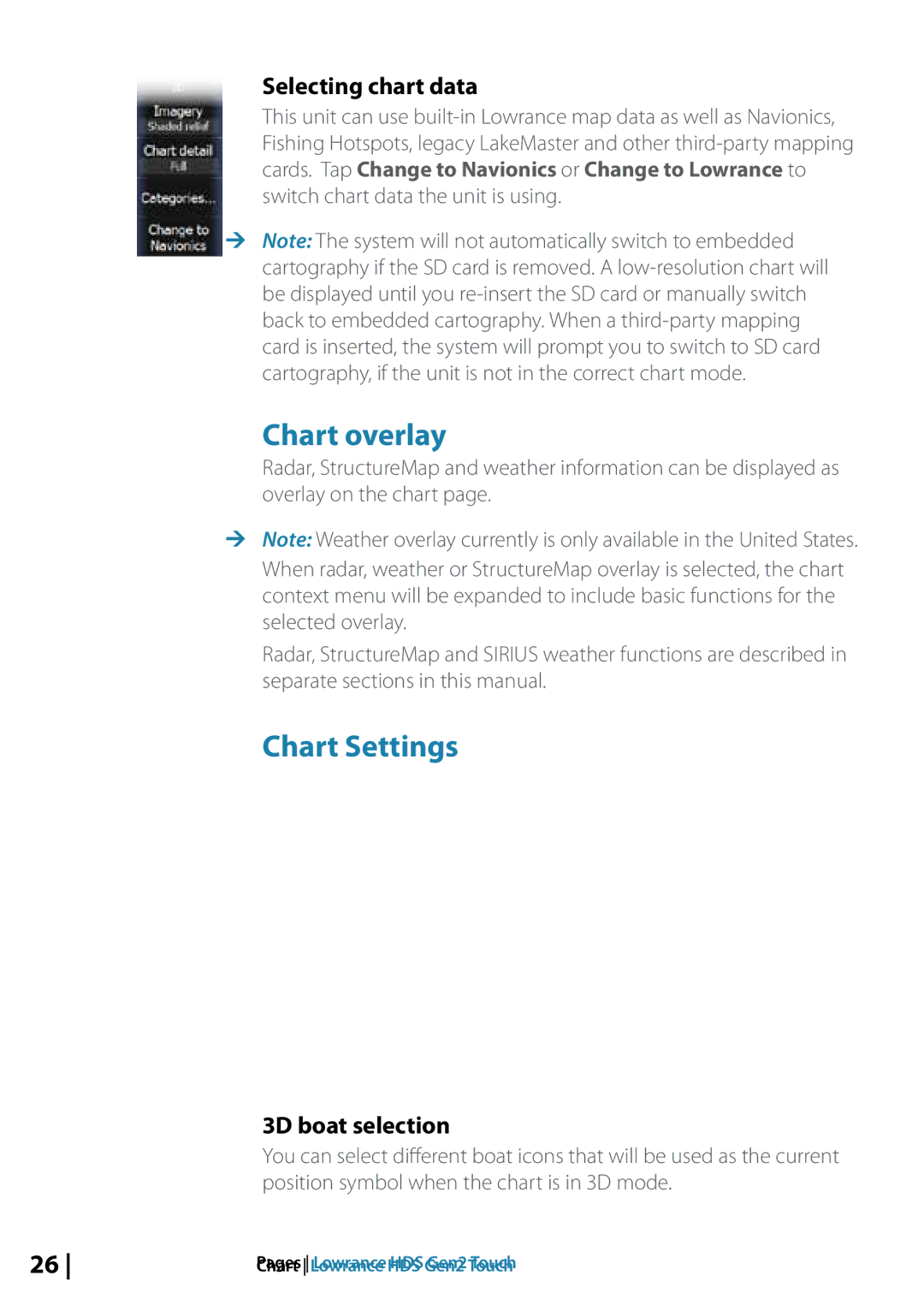
Selecting chart data
This unit can use
Fishing Hotspots, legacy LakeMaster and other
switch chart data the unit is using.
¼¼ Note: The system will not automatically switch to embedded cartography if the SD card is removed. A
Chart overlay
Radar, StructureMap and weather information can be displayed as overlay on the chart page.
¼¼ Note: Weather overlay currently is only available in the United States. When radar, weather or StructureMap overlay is selected, the chart context menu will be expanded to include basic functions for the selected overlay.
Radar, StructureMap and SIRIUS weather functions are described in separate sections in this manual.
Chart Settings
3D boat selection
You can select different boat icons that will be used as the current position symbol when the chart is in 3D mode.
26 | Chart Lowrance HDS Gen2 Touch |