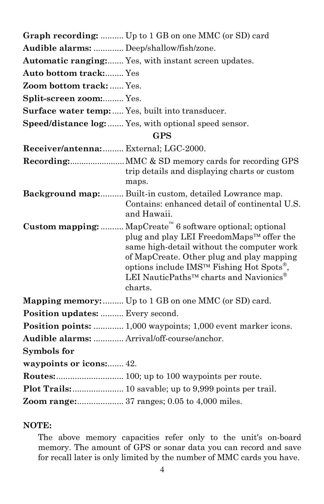
Graph recording: | Up to 1 GB on one MMC (or SD) card |
Audible alarms: | Deep/shallow/fish/zone. |
Automatic ranging: | Yes, with instant screen updates. |
Auto bottom track: | Yes |
Zoom bottom track: | Yes. |
| Yes. |
Surface water temp: | Yes, built into transducer. |
Speed/distance log: | Yes, with optional speed sensor. |
| GPS |
Receiver/antenna: | External; |
Recording: | MMC & SD memory cards for recording GPS |
| trip details and displaying charts or custom |
| maps. |
Background map: | |
| Contains: enhanced detail of continental U.S. |
| and Hawaii. |
Custom mapping: | MapCreate 6 software optional; optional |
| plug and play LEI FreedomMaps offer the |
| same |
| of MapCreate. Other plug and play mapping |
| options include IMS Fishing Hot Spots, |
| LEI NauticPaths charts and Navionics |
| charts. |
Mapping memory: | Up to 1 GB on one MMC (or SD) card. |
Position updates: | Every second. |
Position points: | 1,000 waypoints; 1,000 event marker icons. |
Audible alarms: | |
Symbols for |
|
waypoints or icons: | 42. |
Routes: | 100; up to 100 waypoints per route. |
Plot Trails: | 10 savable; up to 9,999 points per trail. |
Zoom range: | 37 ranges; 0.05 to 4,000 miles. |
NOTE:
The above memory capacities refer only to the unit's
4
