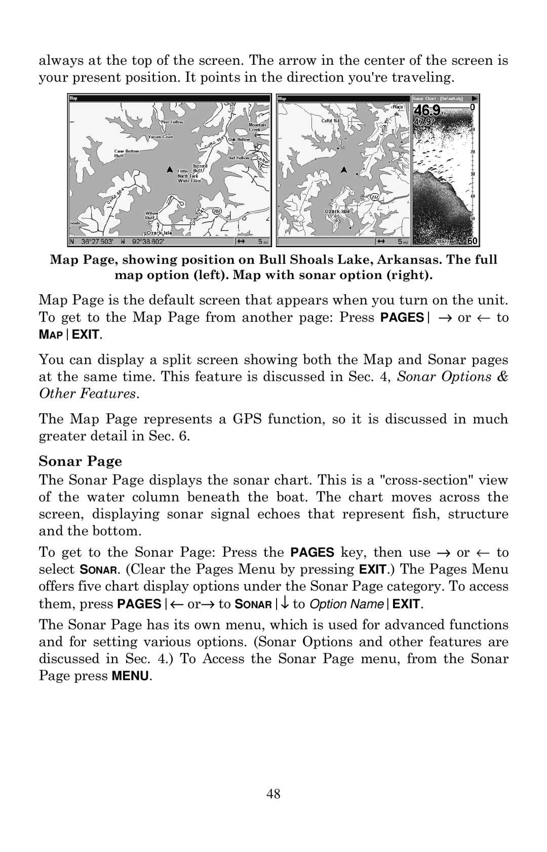
always at the top of the screen. The arrow in the center of the screen is your present position. It points in the direction you're traveling.
Map Page, showing position on Bull Shoals Lake, Arkansas. The full
map option (left). Map with sonar option (right).
Map Page is the default screen that appears when you turn on the unit. To get to the Map Page from another page: Press PAGES → or ← to MAPEXIT.
You can display a split screen showing both the Map and Sonar pages at the same time. This feature is discussed in Sec. 4, Sonar Options & Other Features.
The Map Page represents a GPS function, so it is discussed in much greater detail in Sec. 6.
Sonar Page
The Sonar Page displays the sonar chart. This is a
To get to the Sonar Page: Press the PAGES key, then use → or ← to select SONAR. (Clear the Pages Menu by pressing EXIT.) The Pages Menu offers five chart display options under the Sonar Page category. To access them, press PAGES← or→ to SONAR↓ to Option NameEXIT.
The Sonar Page has its own menu, which is used for advanced functions and for setting various options. (Sonar Options and other features are discussed in Sec. 4.) To Access the Sonar Page menu, from the Sonar Page press MENU.
48