ated using different datums will show the same latitude/longitude in slightly different locations.
All datums are named. The GPS system is based on the
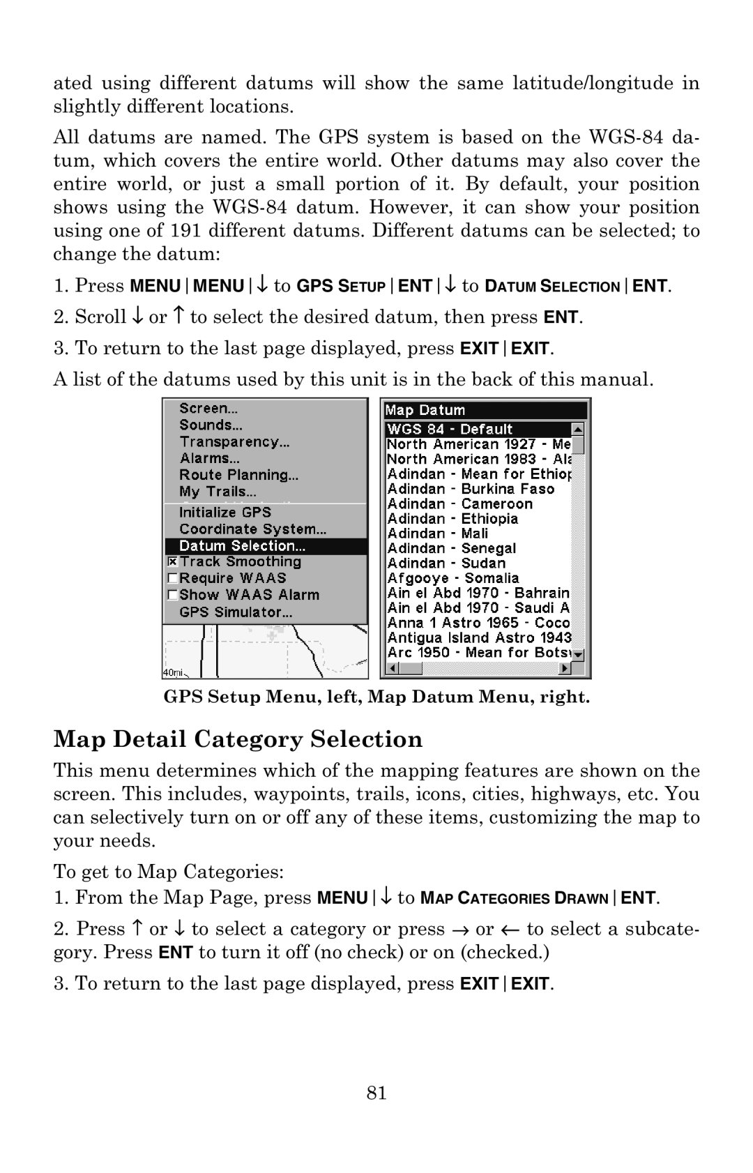
1.Press MENUMENU↓ to GPS SETUPENT↓ to DATUM SELECTIONENT.
2.Scroll ↓ or ↑ to select the desired datum, then press ENT.
3.To return to the last page displayed, press EXITEXIT.
A list of the datums used by this unit is in the back of this manual.
GPS Setup Menu, left, Map Datum Menu, right.
Map Detail Category Selection
This menu determines which of the mapping features are shown on the screen. This includes, waypoints, trails, icons, cities, highways, etc. You can selectively turn on or off any of these items, customizing the map to your needs.
To get to Map Categories:
1.From the Map Page, press MENU↓ to MAP CATEGORIES DRAWNENT.
2.Press ↑ or ↓ to select a category or press → or ← to select a subcate- gory. Press ENT to turn it off (no check) or on (checked.)
3.To return to the last page displayed, press EXITEXIT.
81