PRIMUSr 880 Digital Weather Radar System
AIRCRAFT HEADING
| 0 |
|
|
| 100 |
|
| 80 |
|
| 60 |
| 40 | +0.6 |
|
| |
WX | 20 |
|
|
| |
|
| AD- 12055- R2@ |
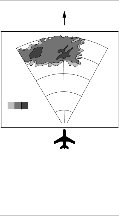
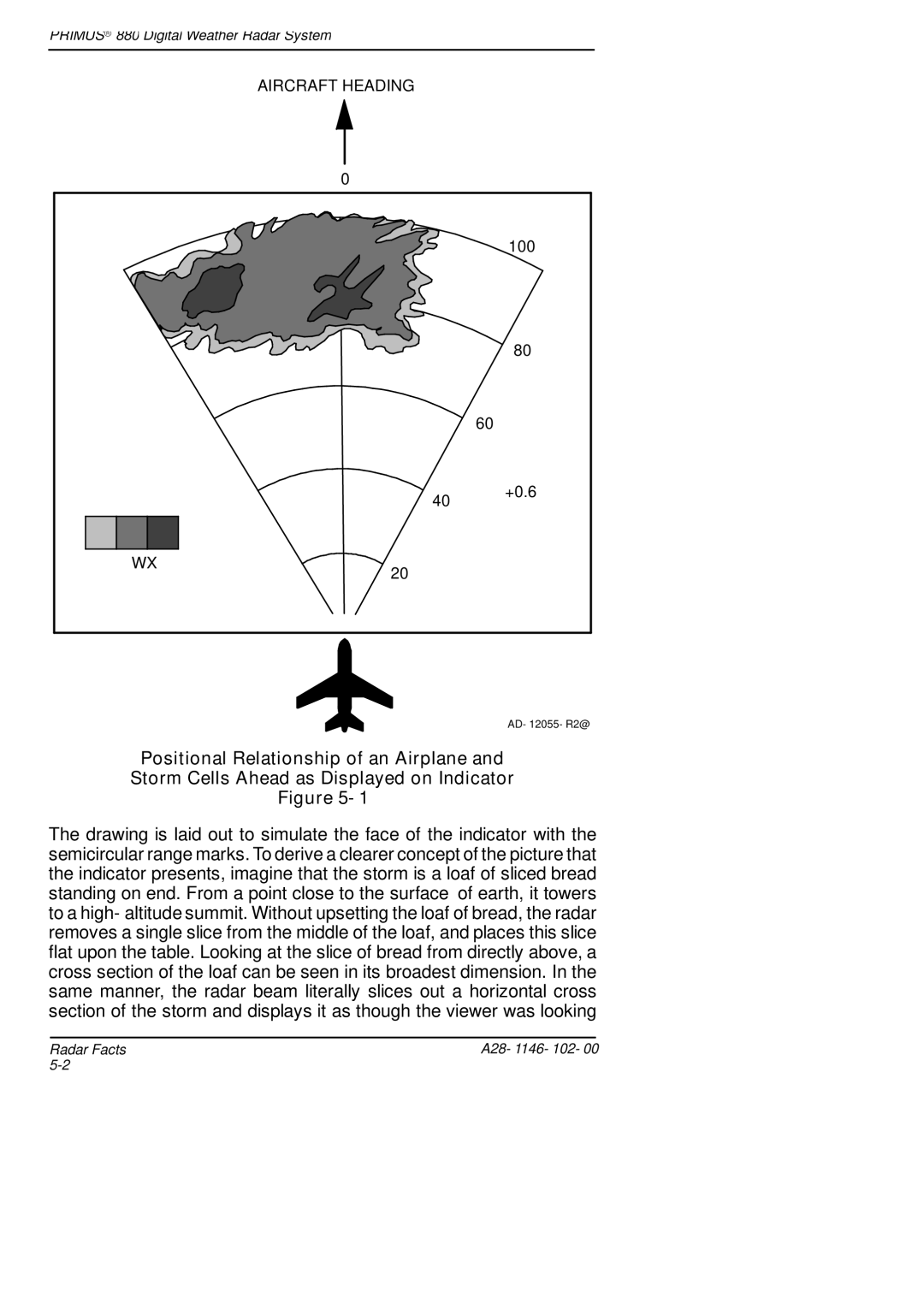
Positional Relationship of an Airplane and
Storm Cells Ahead as Displayed on Indicator
Figure 5- 1
The drawing is laid out to simulate the face of the indicator with the semicircular range marks. To derive a clearer concept of the picture that the indicator presents, imagine that the storm is a loaf of sliced bread standing on end. From a point close to the surface of earth, it towers to a high- altitude summit. Without upsetting the loaf of bread, the radar removes a single slice from the middle of the loaf, and places this slice flat upon the table. Looking at the slice of bread from directly above, a cross section of the loaf can be seen in its broadest dimension. In the same manner, the radar beam literally slices out a horizontal cross section of the storm and displays it as though the viewer was looking
Radar Facts | A28- 1146- 102- 00 |
|
