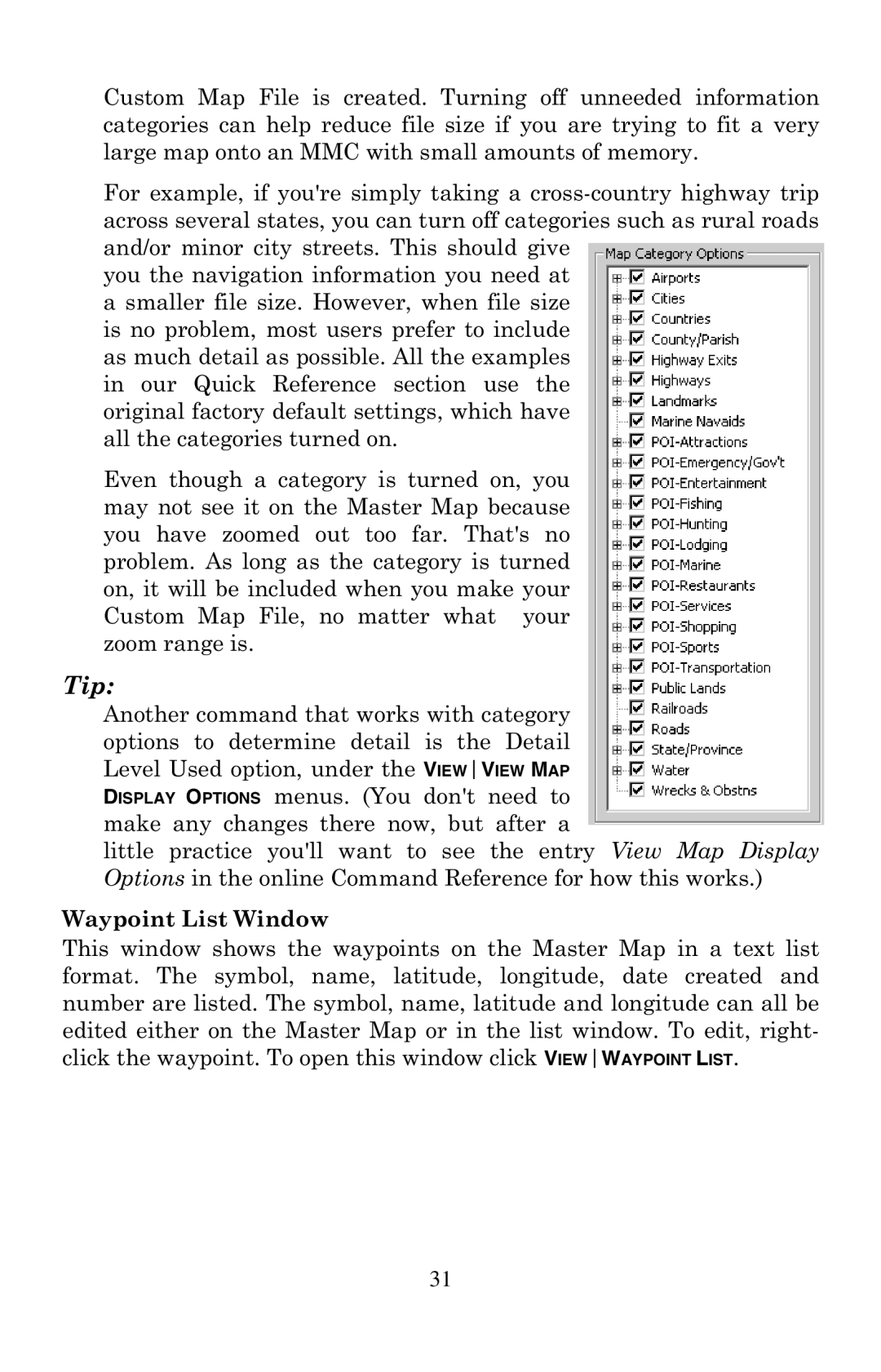
Custom Map File is created. Turning off unneeded information categories can help reduce file size if you are trying to fit a very large map onto an MMC with small amounts of memory.
For example, if you're simply taking a
you the navigation information you need at a smaller file size. However, when file size is no problem, most users prefer to include as much detail as possible. All the examples in our Quick Reference section use the original factory default settings, which have all the categories turned on.
Even though a category is turned on, you may not see it on the Master Map because you have zoomed out too far. That's no problem. As long as the category is turned on, it will be included when you make your Custom Map File, no matter what your zoom range is.
Tip:
Another command that works with category options to determine detail is the Detail Level Used option, under the VIEWVIEW MAP DISPLAY OPTIONS menus. (You don't need to make any changes there now, but after a
little practice you'll want to see the entry View Map Display Options in the online Command Reference for how this works.)
Waypoint List Window
This window shows the waypoints on the Master Map in a text list format. The symbol, name, latitude, longitude, date created and number are listed. The symbol, name, latitude and longitude can all be edited either on the Master Map or in the list window. To edit, right- click the waypoint. To open this window click VIEWWAYPOINT LIST.
31