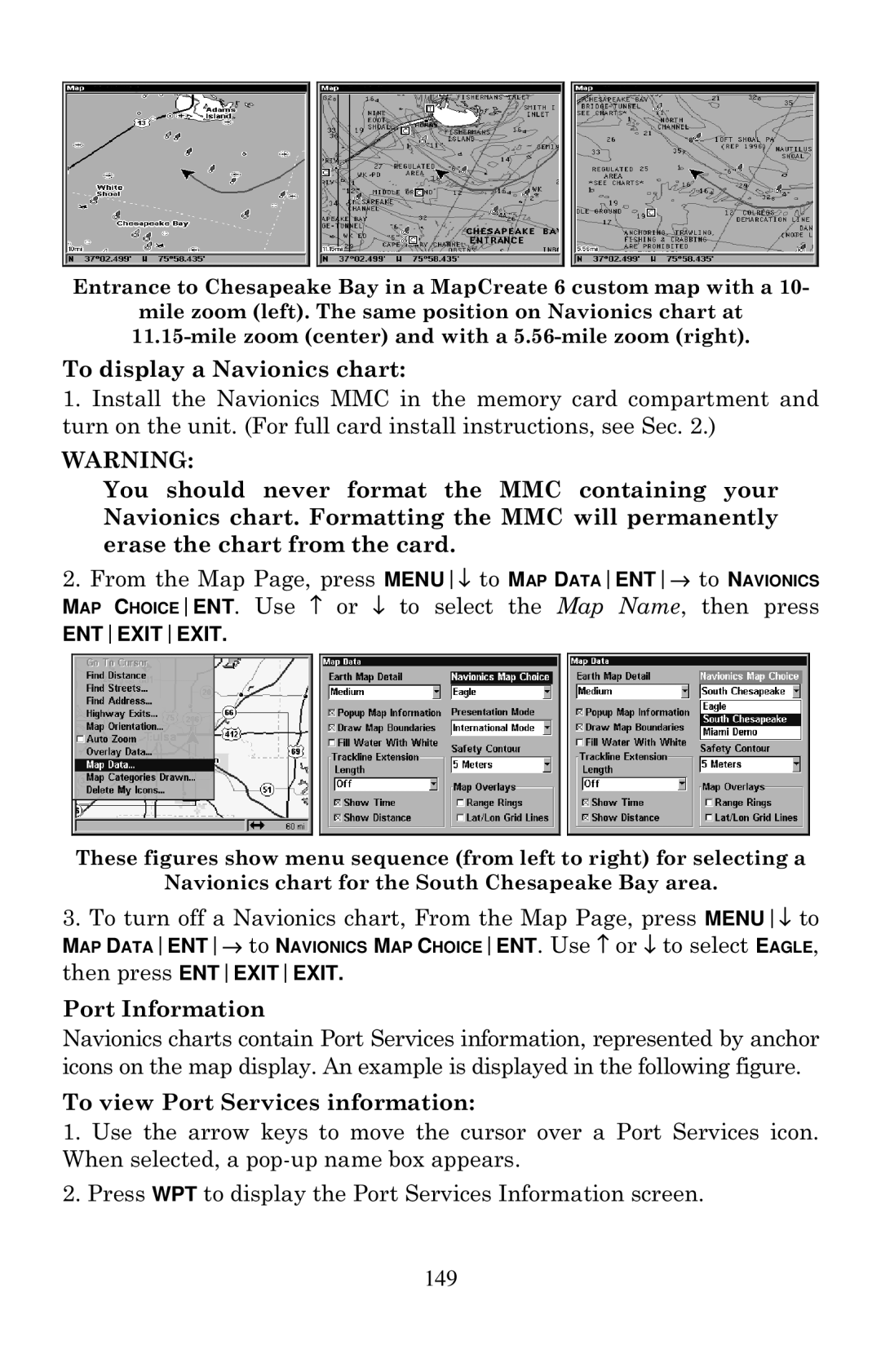
Entrance to Chesapeake Bay in a MapCreate 6 custom map with a 10-
mile zoom (left). The same position on Navionics chart at
To display a Navionics chart:
1.Install the Navionics MMC in the memory card compartment and turn on the unit. (For full card install instructions, see Sec. 2.)
WARNING:
You should never format the MMC containing your Navionics chart. Formatting the MMC will permanently erase the chart from the card.
2.From the Map Page, press MENU↓ to MAP DATAENT→ to NAVIONICS MAP CHOICEENT. Use ↑ or ↓ to select the Map Name, then press
ENTEXITEXIT.
These figures show menu sequence (from left to right) for selecting a
Navionics chart for the South Chesapeake Bay area.
3.To turn off a Navionics chart, From the Map Page, press MENU↓ to
MAP DATAENT→ to NAVIONICS MAP CHOICEENT. Use ↑ or ↓ to select EAGLE,
then press ENTEXITEXIT.
Port Information
Navionics charts contain Port Services information, represented by anchor icons on the map display. An example is displayed in the following figure.
To view Port Services information:
1.Use the arrow keys to move the cursor over a Port Services icon. When selected, a
2.Press WPT to display the Port Services Information screen.
