1From your Home screen, tap ![]() .
.
2Find and tap Settings > Location services.
3Mark the GPS satellites and/or Google's location service checkboxes.
To view geotagged photos on a map in Album
1From your Home screen, tap ![]() .
.
2Find and tap Album > Maps.
3Tap a photo to view it in full screen.
4If several photos were taken at the same location, only one of them appears on the map. The total number of photos appears in the top right corner, for
example, ![]() . To view these photos, tap the cover photo and then tap one of the thumbnails at the bottom of the screen.
. To view these photos, tap the cover photo and then tap one of the thumbnails at the bottom of the screen.
When viewing a geotagged photo in the photo viewer, you can touch the screen to display the toolbars, then tap ![]() to view the photo on the map.
to view the photo on the map.
To add a geotag when viewing the map in Album
1When viewing the map in Album, press ![]() , then tap Add geotag.
, then tap Add geotag.
2Find and tap the photo to which you want to add the geotag.
3Tap the desired location on the map to set the geotag, then tap OK.
To edit the geotag of a photo in Album
1When viewing a photo on the map in Album, touch and hold the photo until its frame turns blue.
2Drag the photo to the new location.
You can also tap the desired location on the map instead of dragging.
To change the map view in Album
•When viewing the map in Album, press ![]() , then select Classic view or Satellite view.
, then select Classic view or Satellite view.
Viewing your online albums
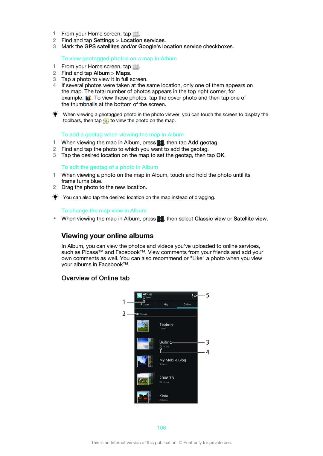
In Album, you can view the photos and videos you've uploaded to online services, such as Picasa™ and Facebook™. View comments from your friends and add your own comments as well. You can also recommend or "Like" a photo when you view your albums in Facebook™.
Overview of Online tab
5
1 ![]()
2
3
![]() 4
4
106
This is an Internet version of this publication. © Print only for private use.
