bed_anl_DIGITY CI_Quark3_en.qxd 31.01.03 16:47 Seite 35
8.2 Geo-positioning
If you have a suitable motor and know the geographic co- ordinates of your location, this function will make it easier to find the individual satellite positions. The
Note! You should only switch on the
>As described, call up the menu LNB Settings.
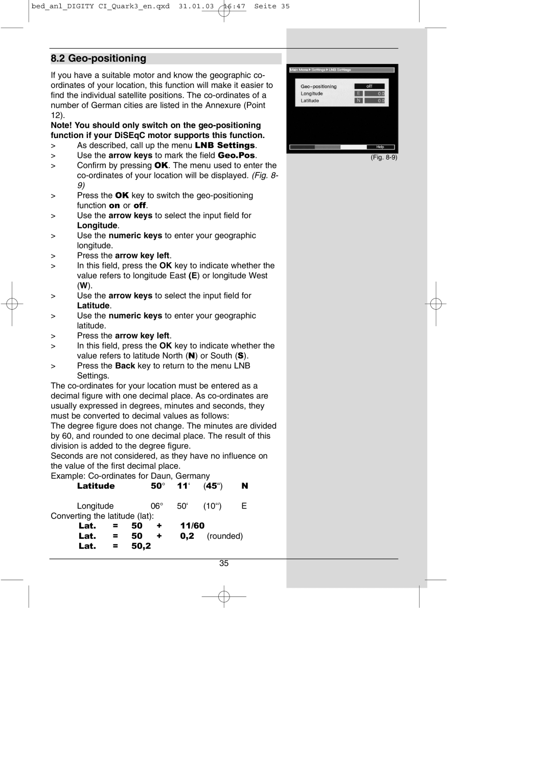
> | Use the arrow keys to mark the field Geo.Pos. | (Fig. |
>Confirm by pressing OK. The menu used to enter the
>Press the OK key to switch the
>Use the arrow keys to select the input field for Longitude.
>Use the numeric keys to enter your geographic longitude.
>Press the arrow key left.
>In this field, press the OK key to indicate whether the value refers to longitude East (E) or longitude West (W).
>Use the arrow keys to select the input field for Latitude.
>Use the numeric keys to enter your geographic latitude.
>Press the arrow key left.
>In this field, press the OK key to indicate whether the value refers to latitude North (N) or South (S).
>Press the Back key to return to the menu LNB Settings.
The
The degree figure does not change. The minutes are divided by 60, and rounded to one decimal place. The result of this division is added to the degree figure.
Seconds are not considered, as they have no influence on the value of the first decimal place.
Example: |
| |||||
Latitude |
| 50° | 11‘ | (45“) | N | |
Longitude |
| 06° | 50‘ | (10‘‘) | E | |
Converting the latitude (lat): |
|
|
| |||
Lat. | = | 50 | + | 11/60 |
| |
Lat. | = | 50 | + | 0,2 | (rounded) | |
Lat. | = | 50,2 |
|
|
| |
35