Manuals
/
Standard Horizon
/
Marine Equipment
/
Fish Finder
Standard Horizon
CP150C
owner manual
Models:
CP150C
1
1
72
72
Download
72 pages
50.97 Kb
1
2
3
4
5
6
7
8
Specs
Install
Chart
Alarms
Controls and Indicators
Connecting Power
Maintenance
Setup of Nmea output sentences
Card Connector
Adjusting Cursor Speed
Page 1
Image 1
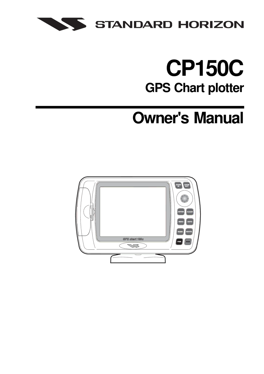
CP150C
GPS Chart plotter
Owner's Manual
Page 1
Page 2
Page 1
Image 1
Page 1
Page 2
Contents
CP150C
Table of Contents
MOB Function
Index
FCC Compliance Statement
GPS Chart 150C
Packing List
General Information
Bracket
Options
Getting Started
Installing the Chart Plotter
Connecting Power
Installing the Antenna
Optional C-MAP NT+ Cartography Inserting the C-CARD
Power On
Controls and Connections
Controls and Indicators
ShuttlePoint knob
Keys
Key and Lamp/Contrast
Key
Card slot
Turning Power on and OFF
GPS Antenna connector Power and I/O connector
Adjusting Cursor Speed
Changing Ship Icons
Changing the Display Palette
Adjusting the Time
Changing Light and Contrast
Navigating to a Mark
Entering in a Mark from a Position
Entering Loran TD’S
Press Menu + Advanced Setup + Enter + Navigate + Enter +
Transfer Marks from PC or Other GPS
Selecting North UP or Course UP
Customizing Data Windows on Chart
Customizing Data box
Selecting Data Window layout
Customizing Data Windows on ANY
Cursor Mode
Home Mode VS. Cursor Mode
Pages
Selecting pages
Home Mode
Navigation Data
Chart
Celestial
Highway
VHF Radio DSC LOG
GPS Status
Display
Nmea Display Pages
Depth Trend
Data
Selection
Marks
Creating and Using Marks
Creating a New Mark
Editing a Mark
Moving a Mark
Deleting a Mark
Creating a new Route
Creating and Using Routes
Deleting a Waypoint
Locating a Mark
1 Deleting Waypoint
Moving a Waypoint
2a Moving Waypoint
Inserting a Waypoint into a Route
3b Placing Waypoint between two existing ones
Editing a Waypoint
4b Edit Waypoint
Route Report page Information on a Route
Menu + User Points List + Enter
User Points List page Information on Waypoints
Allows locating selected point on the Chart
Deleting a Route
Reversing a Route
Following a Route
Selecting Route Color
Goto Function
MOB Function
Track Plotter Fuctions
Deleting MOB
Selecting Time and Distance
Selecting a track line color
Saving a track to memory
Maintenance
Displaying track
Deleting track
Display Resolution 320 x 240 pixels Cartography
Specifications
Operating temperature range 0/+55 degrees Celsius
13.1GPS Antenna Specifications
13.0GPS Receiver Specifications
RAM Menu
Technical 3.14.0System Test
RAM Test
RAM Clear
Cartridges
DIM Menu
Contrast
Backlight
Serial Ports
Card Connector
Card Test
Change Parameters
Nmea Input/Output
Setup of Nmea output sentences
Dual Station Operation Master Slave
NMEA2 Rtcm Input
15.0 User Points icons
Terms and Functions 3.15.0User Points Handling functions
Waypoints and Routes
Marks
Destination point
Route Following
User Points List
Information on User Points
15.2Input/Output
15.1Track History
Route Report
GPS Data
Data Display
Data Window on Chart
Instruments Data
NMEA-0183 output Autopilot output
15.3.1 GPS Status
Navigation
15.3.3 3D Highway Display
15.4User Settings
Other pages About
Map Customization
Marine Settings
Display Settings
Customize Map
Depth Settings
Chart Settings
Land Settings
General Setup
Navigate
15.4.4 Fix
Map Orientation
Coordinate System
Internal GPS Setup
Alarms
Compass
Input / Output
GPS Chart 150C
Simulation
Automatic Info
15.5.0Info Tree and Expanded Info pages
Getting Port Info
Info function
To display the Tide Graph page press Enter
15.5.3Getting Tide Info
15.6Find Function
Port Services
Ports
Searching by name
Searching by list
Tide stations
Wrecks
Index
GPS
Position Request Call
Top
Page
Image
Contents