1.5.2GPS Symbol and Zoom Controls
By default, an open mapping screen zooms to the full extent of data in a job; however if no data exists, the map will be centered on the GPS location (scaled to 1:20m) awaiting collected data.
The map submenu contains zoom controls for
•Zoom In, Zoom Out, Zoom To Full Extents
•Center Cursor, Center GPS, Center Selected
•Autopan GPS
Remember: “3” and “9” function as zoom controls !
Remember: The mapview is only capable of displaying 12,000 nodes, being points or line/area verticies. A warning will be issued at 9500 nodes, that the map will be discontinued. A final warning will be issued before the map display is turned off.
Tip: To minimize nodes in a job; consider streaming lines and areas by distance or at a slower rate. An 8 hour constant collection at a 5 second interval only produces 5760 nodes.
)The map display can be turned off in the Job Management Screen.
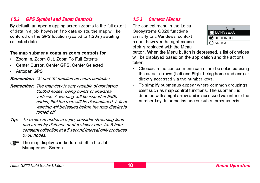
1.5.3Context Menus
The context menu in the Leica Geosystems GS20 functions similarly to a Windows’ context menu, however the right mouse click is replaced with the Menu
button. When the Menu button is depressed, a list of choices will be displayed based on the application and the actions taken.
•Choices in the context menu can either be selected using the cursor arrows (Left and Right being home and end) or directly accessed via the number keys.
•To simplify submenus appear where common groupings exist such as map control functions. The submenu is denoted with a right arrow and is accessed via enter or the number key. In some instances,
Leica GS20 Field
18
Basic Operation