1.5Software User Interface
1.5.1Map Views
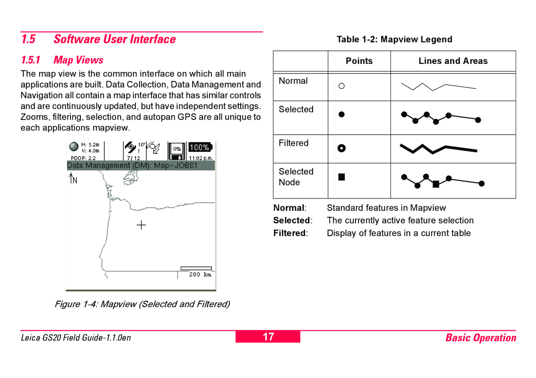
The map view is the common interface on which all main applications are built. Data Collection, Data Management and Navigation all contain a map interface that has similar controls and are continuously updated, but have independent settings. Zooms, filtering, selection, and autopan GPS are all unique to each applications mapview.
Table
Points | Lines and Areas |
Normal
Selected
Filtered
Selected
Node
Normal: Standard features in Mapview
Selected: The currently active feature selection
Filtered: Display of features in a current table
Figure 1-4: Mapview (Selected and Filtered)
Leica GS20 Field
17
Basic Operation
