5.1.2Overview
When creating a job, it is possible to attach a
Coordinate Systems can be created in either GIS DataPRO or SKI PRO office software, as well as
Although the CSCS and Geoid files are attached to a coordinate system in the office software, it is necessary to make a smaller more localized “Field file” for use in the GPS hardware. These files can then be used in conjunction to the coordinate system on the GS20 to provide transformations, and orthometric height values.
5.1.3Attaching a Coordinate System
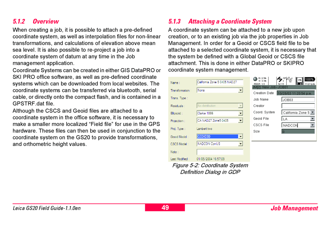
A coordinate system can be attached to a new job upon creation, or to an existing job via the job properties in Job Management. In order for a Geoid or CSCS field file to be attached to a selected coordinate system, it is necessary that the system be defined with a Global Geoid or CSCS file attachment. This is done in either DataPRO or SKIPRO coordinate system management.
Figure 5-2: Coordinate System
Definition Dialog in GDP
Leica GS20 Field
49
Job Management