| Chapter |
Customizing preferences | 13 |
|
|
!“Time”
Enables you to adjust the time difference by one hour. Touch a or b to adjust it.
p “Time Zone” and “Time” are activated only when [Off] is selected.
3D Settings
The 3D map screen settings can be custo- mized.
1Touch [Visual] on the “Navi Settings” menu.
The “Visual Settings” screen appears.
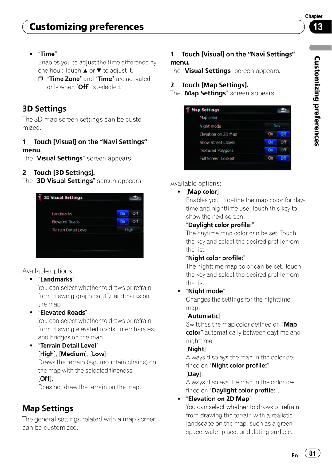
2Touch [3D Settings].
The “3D Visual Settings” screen appears.
Available options;
!“Landmarks”
You can select whether to draws or refrain from drawing graphical 3D landmarks on the map.
!“Elevated Roads”
You can select whether to draws or refrain from drawing elevated roads, interchanges, and bridges on the map.
!“Terrain Detail Level”
[High], [Medium], [Low]:
Draws the terrain (e.g. mountain chains) on the map with the selected fineness.
[Off]:
Does not draw the terrain on the map.
Map Settings
The general settings related with a map screen can be customized.
1Touch [Visual] on the “Navi Settings” menu.
The “Visual Settings” screen appears.
2Touch [Map Settings].
The “Map Settings” screen appears.
Available options;
![Map color]
Enables you to define the map color for day- time and nighttime use. Touch this key to show the next screen.
“Daylight color profile:”
The daytime map color can be set. Touch the key and select the desired profile from the list.
“Night color profile:”
The nighttime map color can be set. Touch the key and select the desired profile from the list.
!“Night mode”
Changes the settings for the nighttime map.
[Automatic]:
Switches the map color defined on “Map color” automatically between daytime and nighttime.
[Night]:
Always displays the map in the color de- fined on “Night color profile:”.
[Day]:
Always displays the map in the color de- fined on “Daylight color profile:”.
!“Elevation on 2D Map”
You can select whether to draws or refrain from drawing the terrain with a realistic landscape on the map, such as a green space, water place, undulating surface.
Customizing preferences
En ![]() 81
81![]()