RayTech Navigator User’s Guide
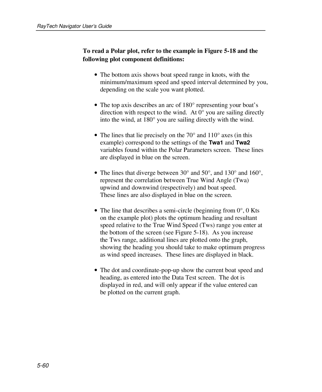
To read a Polar plot, refer to the example in Figure
∙The bottom axis shows boat speed range in knots, with the minimum/maximum speed and speed interval determined by you, depending on the scale you want plotted.
∙The top axis describes an arc of 180° representing your boat’s direction with respect to the wind. At 0° you are sailing directly into the wind, at 180° you are sailing directly with the wind.
∙The lines that lie precisely on the 70° and 110° axes (in this example) correspond to the settings of the Twa1 and Twa2 variables found within the Polar Parameters screen. These lines are displayed in blue on the screen.
∙The lines that diverge between 30° and 50°, and 130° and 160°, represent the correlation between True Wind Angle (Twa) upwind and downwind (respectively) and boat speed.
These lines are also displayed in blue on the screen.
∙The line that describes a
∙The dot and