RayTech Navigator User’s Guide

Advanced Graphical User Interface with

Customizable Toolbars/Displays

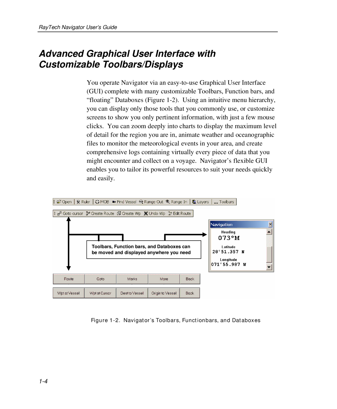
You operate Navigator via an easy-to-use Graphical User Interface (GUI) complete with many customizable Toolbars, Function bars, and “floating” Databoxes (Figure 1-2). Using an intuitive menu hierarchy, you can display only those tools that you commonly use, or customize screens to show you only pertinent information, with just a few mouse clicks. You can zoom deeply into charts to display the maximum level of detail for the region you are in, animate weather and oceanographic files to monitor the meteorological events in your area, and create comprehensive logs containing virtually every piece of data that you might encounter and collect on a voyage. Navigator’s flexible GUI enables you to tailor its powerful resources to suit your needs quickly and easily.

Toolbars, Function bars, and Databoxes can be moved and displayed anywhere you need

Figure 1-2. Navigator’s Toolbars, Functionbars, and Databoxes

1-4

Page 18
Image 18
Raymarine Marine GPS System manual Navigator’s Toolbars, Functionbars, and Databoxes