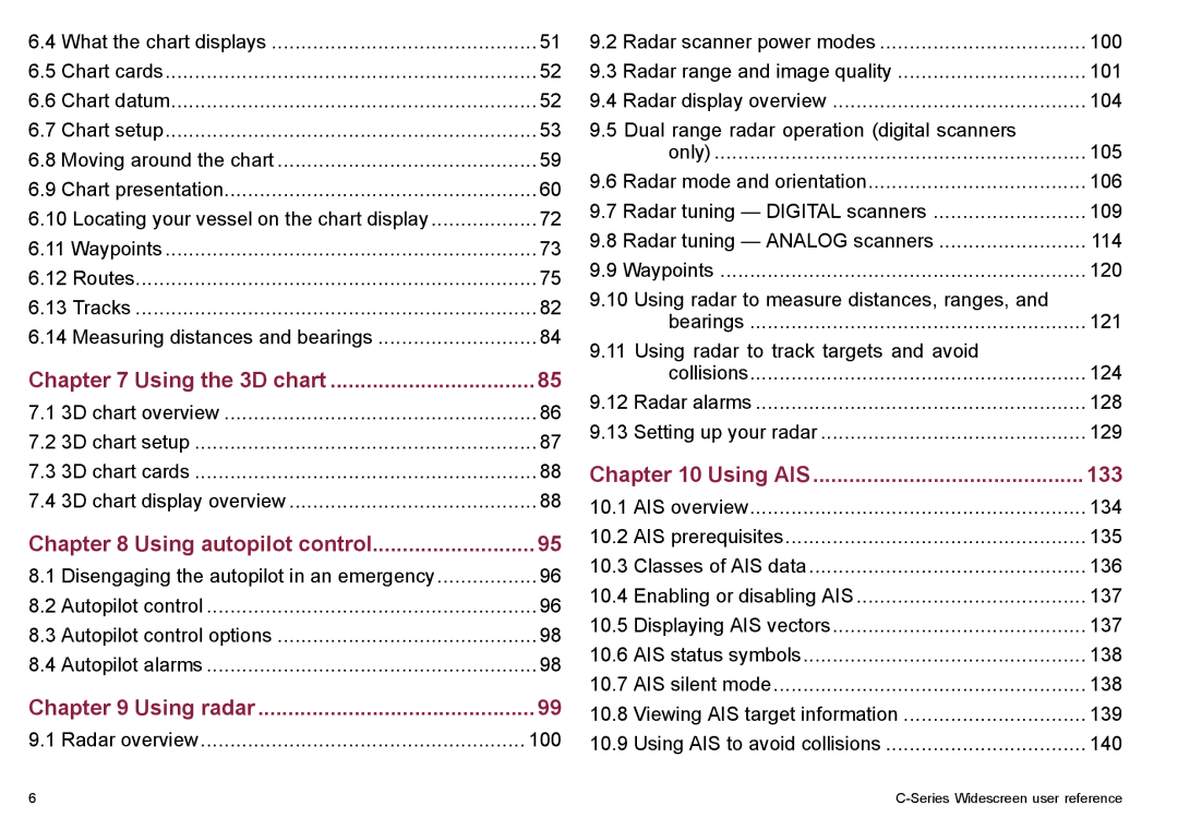
6.4 | What the chart displays | 51 |
6.5 | Chart cards | 52 |
6.6 | Chart datum | 52 |
6.7 | Chart setup | 53 |
6.8 | Moving around the chart | 59 |
6.9 | Chart presentation | 60 |
6.10 Locating your vessel on the chart display | 72 | |
6.11 Waypoints | 73 | |
6.12 Routes | 75 | |
6.13 Tracks | 82 | |
6.14 Measuring distances and bearings | 84 | |
Chapter 7 Using the 3D chart | 85 | |
7.1 | 3D chart overview | 86 |
7.2 | 3D chart setup | 87 |
7.3 | 3D chart cards | 88 |
7.4 | 3D chart display overview | 88 |
Chapter 8 Using autopilot control | 95 | |
8.1 | Disengaging the autopilot in an emergency | 96 |
8.2 | Autopilot control | 96 |
8.3 | Autopilot control options | 98 |
8.4 | Autopilot alarms | 98 |
Chapter 9 Using radar | 99 | |
9.1 | Radar overview | 100 |
9.2 | Radar scanner power modes | 100 |
9.3 | Radar range and image quality | 101 |
9.4 | Radar display overview | 104 |
9.5 | Dual range radar operation (digital scanners |
|
| only) | 105 |
9.6 | Radar mode and orientation | 106 |
9.7 | Radar tuning — DIGITAL scanners | 109 |
9.8 | Radar tuning — ANALOG scanners | 114 |
9.9 | Waypoints | 120 |
9.10 Using radar to measure distances, ranges, and |
| |
| bearings | 121 |
9.11 Using radar to track targets and avoid |
| |
| collisions | 124 |
9.12 Radar alarms | 128 | |
9.13 Setting up your radar | 129 | |
Chapter 10 Using AIS | 133 | |
10.1 | AIS overview | 134 |
10.2 | AIS prerequisites | 135 |
10.3 | Classes of AIS data | 136 |
10.4 | Enabling or disabling AIS | 137 |
10.5 | Displaying AIS vectors | 137 |
10.6 | AIS status symbols | 138 |
10.7 | AIS silent mode | 138 |
10.8 | Viewing AIS target information | 139 |
10.9 | Using AIS to avoid collisions | 140 |
6 |
