3.To switch the color palatte between Day (very bright) and Night (dark) modes, press the PALETTE softkey and select the DAY or NIGHT option.
GPS receiver selection
You must configure your multifunction display to use either the internal GPS receiver, or an
Your multifunction display has a
However, you may prefer to connect your multifunction display to an external GPS receiver. In this case, you must configure your multifunction display to use the external GPS receiver instead of the internal GPS receiver.
GPS Selection for Multiple Displays
When using multiple multifunction displays, ensure that you use the GPS receiver with the best signal.
You must disable the internal GPS receiver on any additional displays you have connected to your master multifunction display.
If you are using an external GPS receiver, you must disable the internal GPS receiver on ALL displays.
Switching between internal and external GPS receivers
1.Press the MENU button.
2.Using the trackpad, select the Internal GPS menu item.
3.Using the trackpad, select the ON option to use the internal GPS, or the OFF option to use an external GPS.
4.Press the OK button.
Simulator mode
The Simulator mode enables you to practice operating your display
without data from a GPS antenna, radar scanner, fishfinder or AIS receiver.
The Simulator mode is switched on/off in the System Setup Menu. Once enabled, you can use the Simulator:
•Before installation: Connect the display to a 12V DC power supply, fused at 1 amp by attaching the red core from the power lead to positive (+) and the black core to negative
•After installation: Whilst in a marina or at anchor.
Note: Incoming AIS safety messages cannot be displayed while the display is in Simulator mode.
Note: Any system settings made whilst in Simulator mode are not transmitted via SeaTalk to other equipment.
Enabling the simulator mode
1.Press Menu.
2.Select the System Setup menu.
3.Select the Simulator item, and change its value to On.
System setup menu
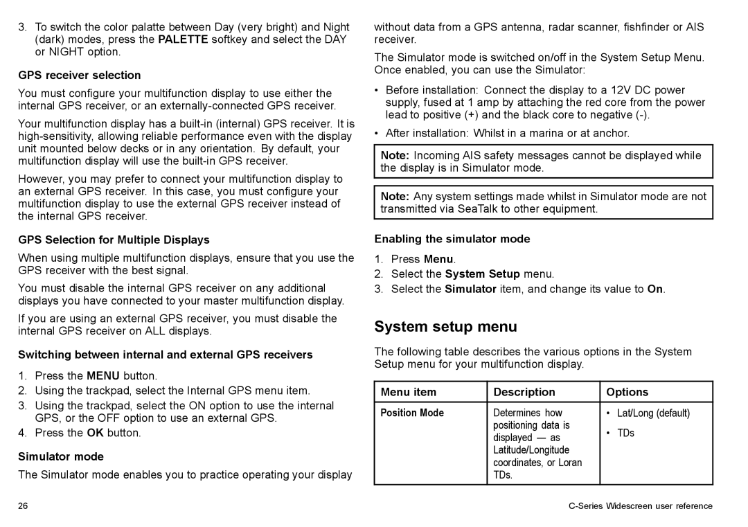
The following table describes the various options in the System Setup menu for your multifunction display.
Menu item | Description | Options | |
|
|
|
|
Position Mode | Determines how | • | Lat/Long (default) |
| positioning data is | • | TDs |
| displayed — as | ||
| Latitude/Longitude |
|
|
| coordinates, or Loran |
|
|
| TDs. |
|
|
26 |
